Being a Chicago-based photographer means that off-season is always going to be during the winter months. In my opinion, this is the perfect time to get out of the cold and scratch the travel itch! I fell in love with the Southwest when I drove through some of the national parks during a quick trip for a conference last year. I promised myself I’d go back and do it right this time.
This blog post is my story of two weeks spent in the Southwest told through my cell phone photos. That’s right, all that professional photography equipment, and the cameras do not join me during my hiking adventures! When I posted my trip highlights on Instagram, I probably had DMs about this than anything I’ve ever posted before. So, I’m including the links to restaurants we enjoyed, places we stayed, etc.
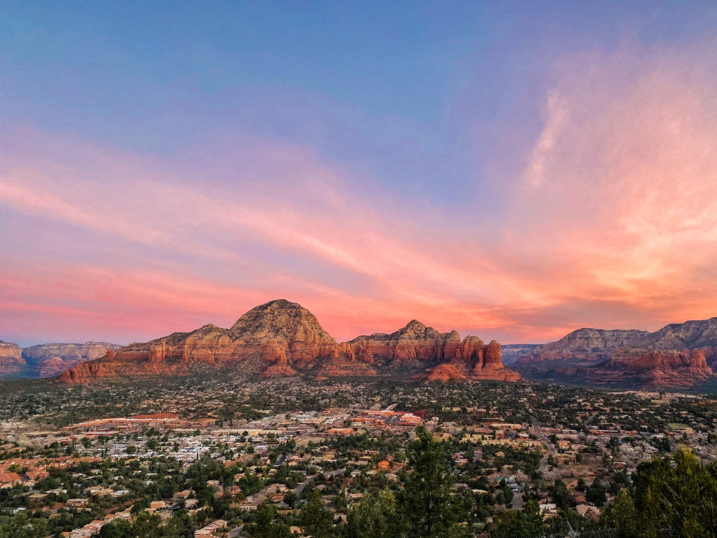
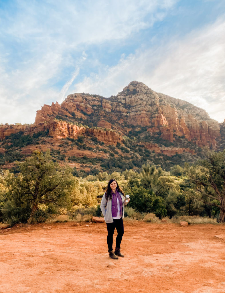
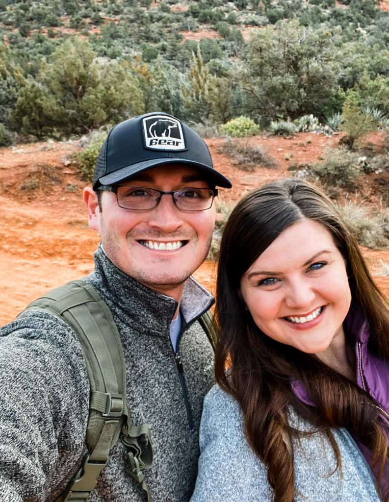
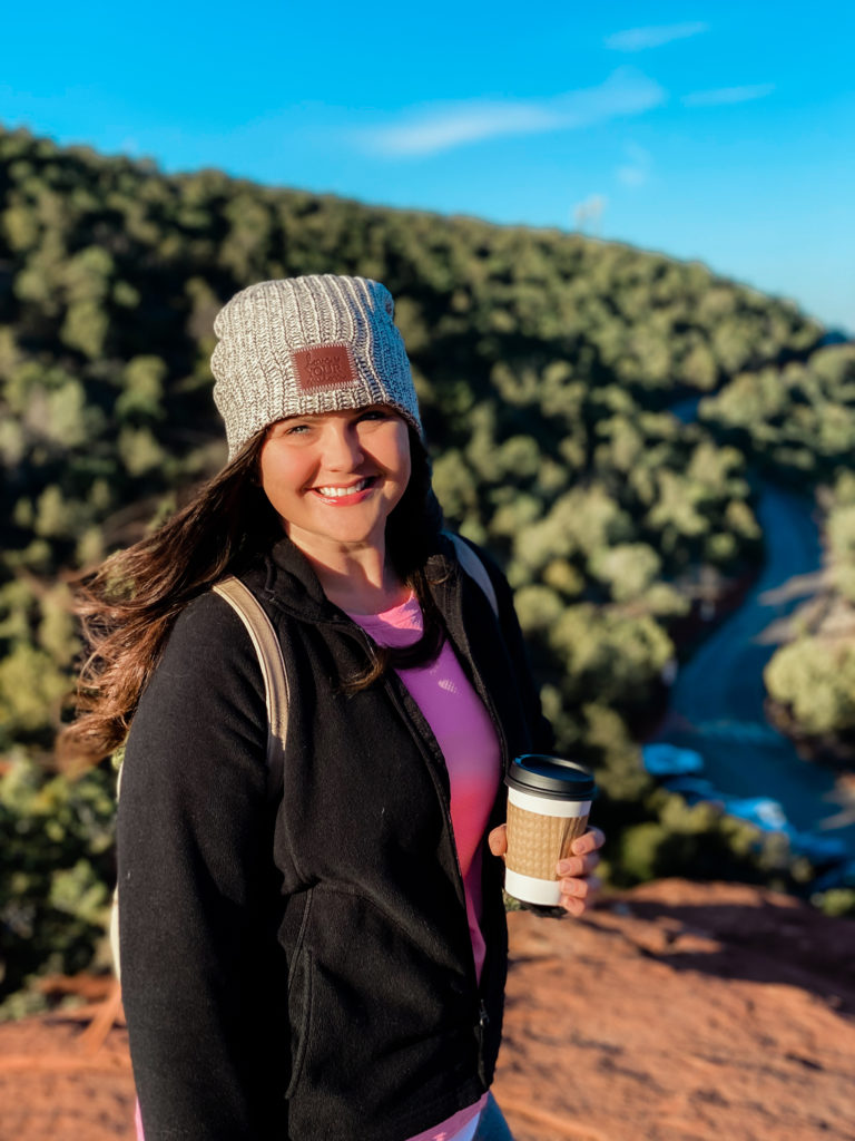
The road trip kicked off in Sedona, AZ. We stayed at the Sky Ranch Lodge, which has some of the BEST views in all of Sedona. This photo was taken during sunrise from the lookout point:
DEVIL’S BRIDGE TRAIL
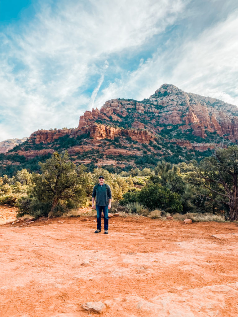
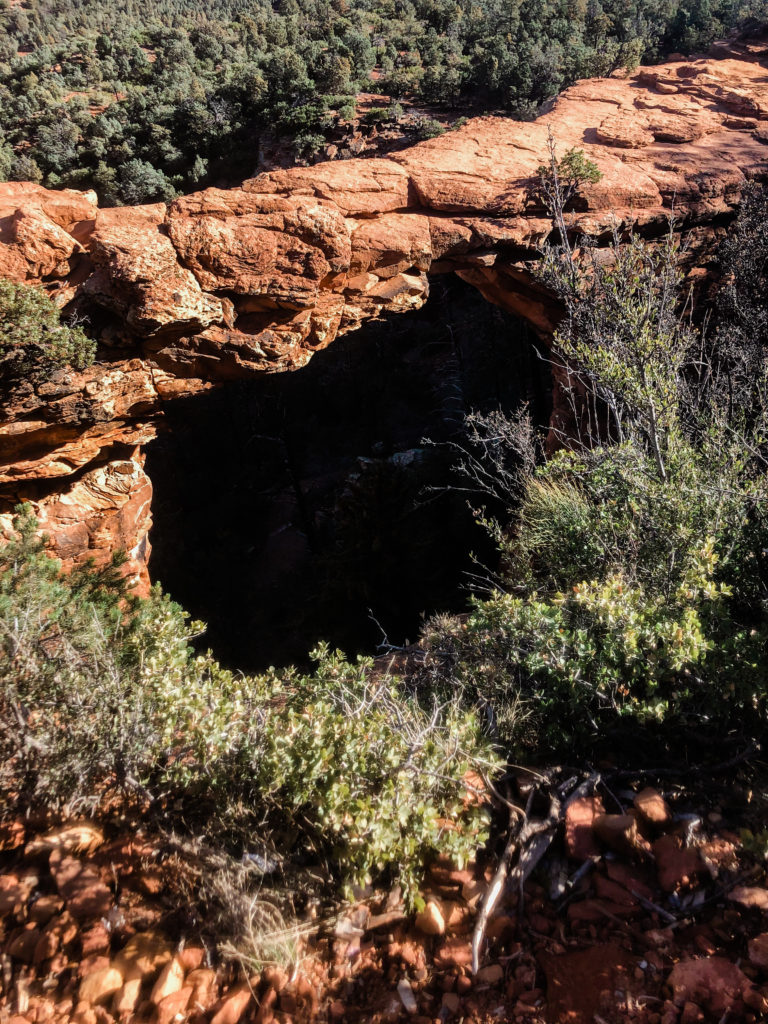
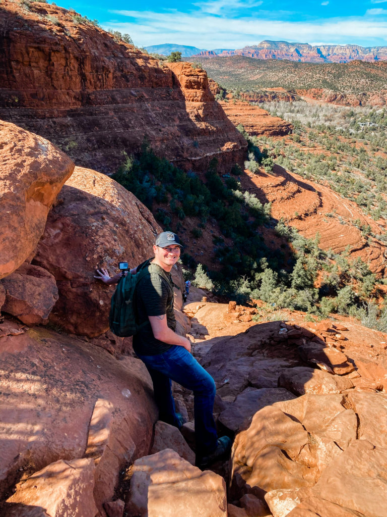
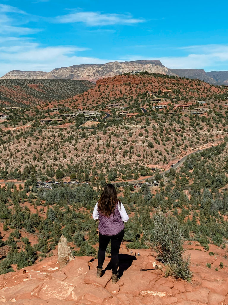
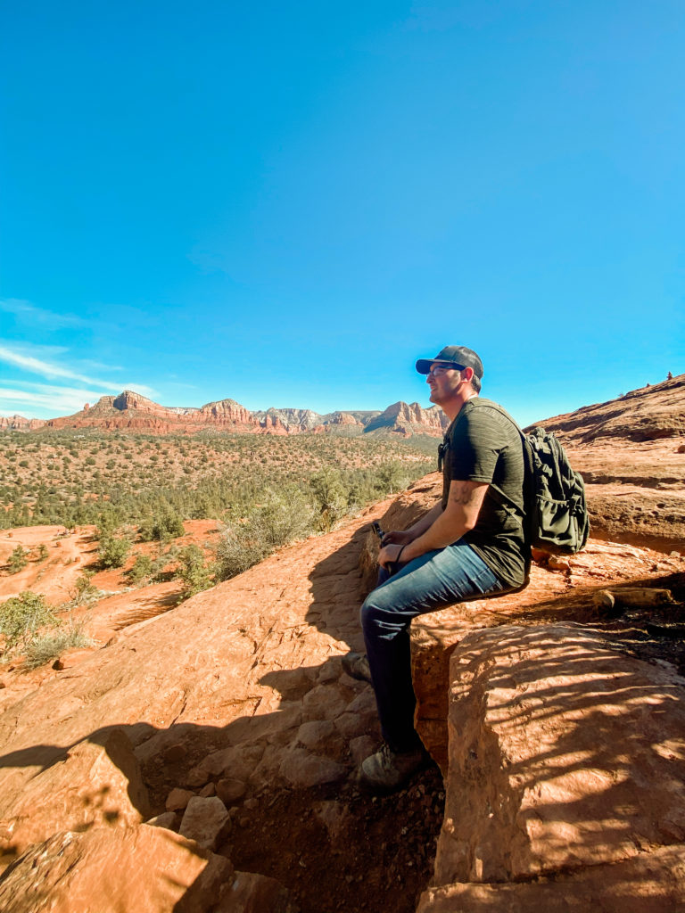
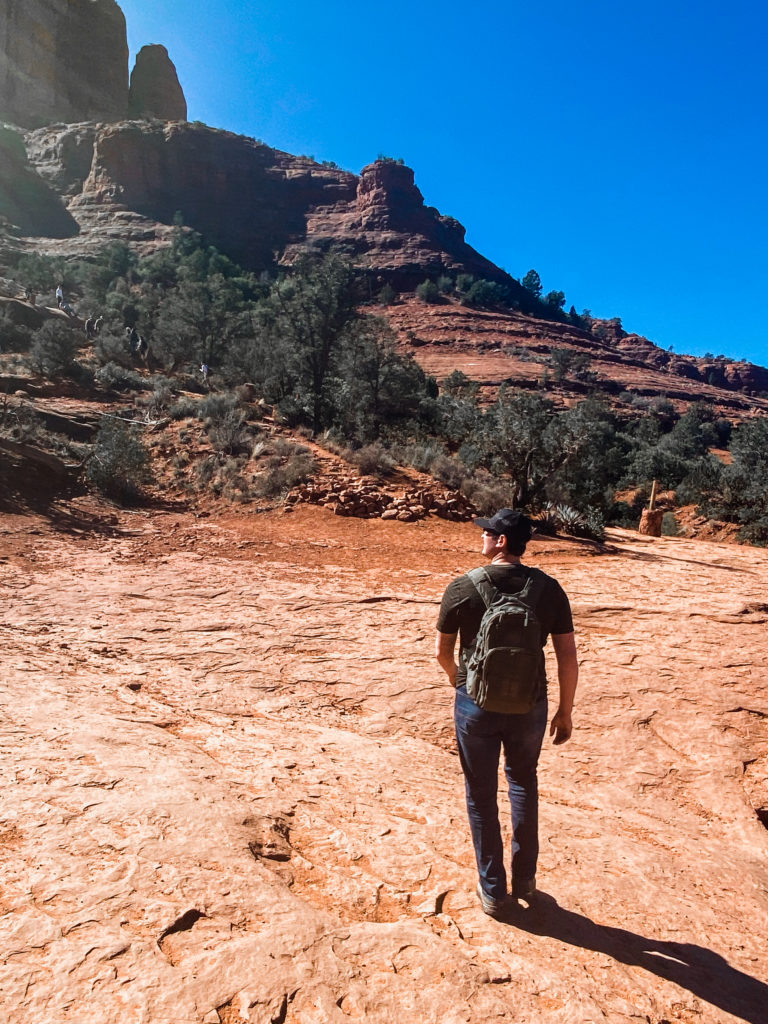
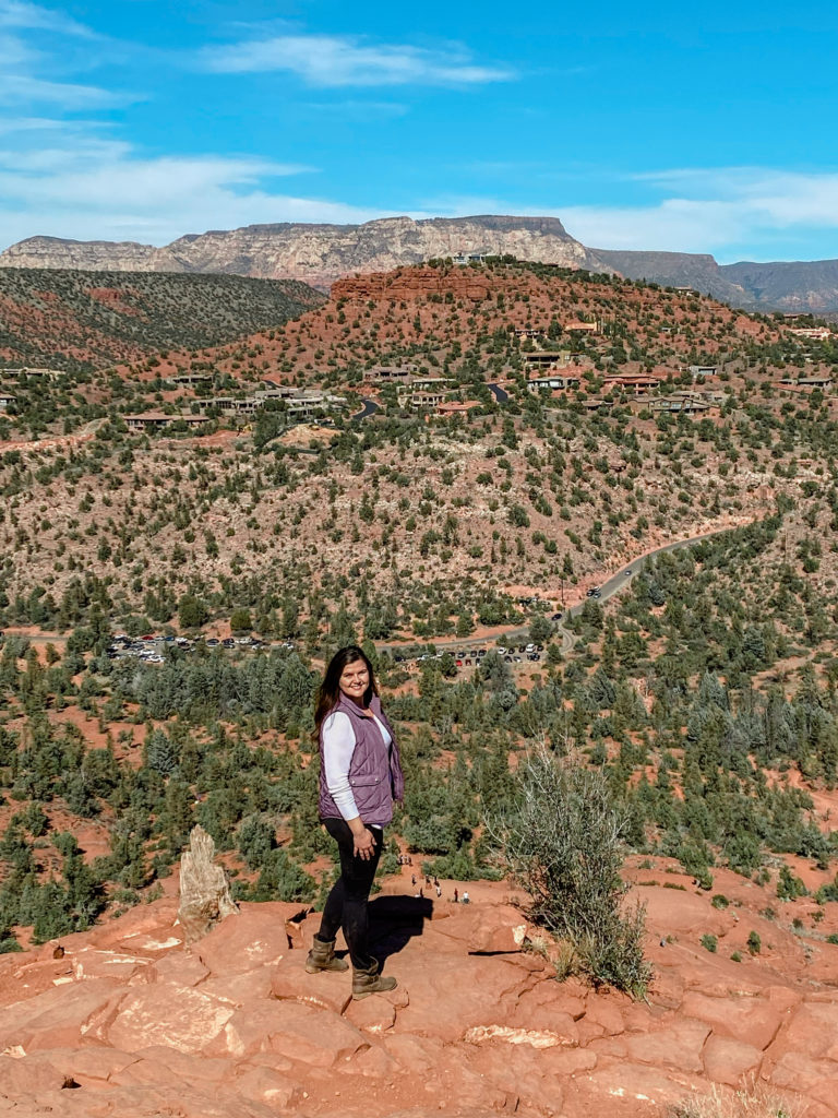
Our first adventure was to hike the Devil’s Bridge Trail. This 4.2 mile hike (approx 90 mins) is rated as moderate. From my research, this is one of the most popular trails in Sedona. We started our day here and made it a point to arrive early to beat large crowds.
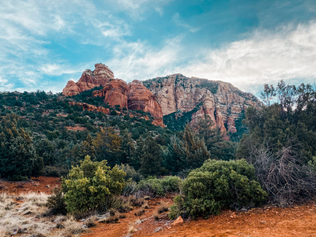
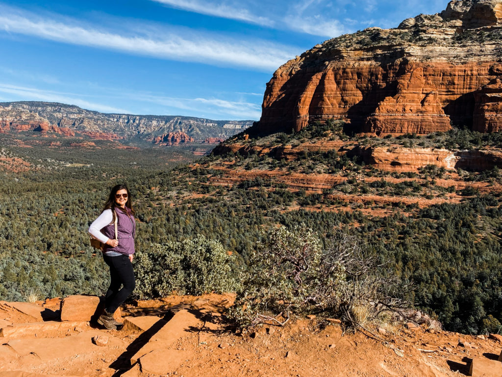
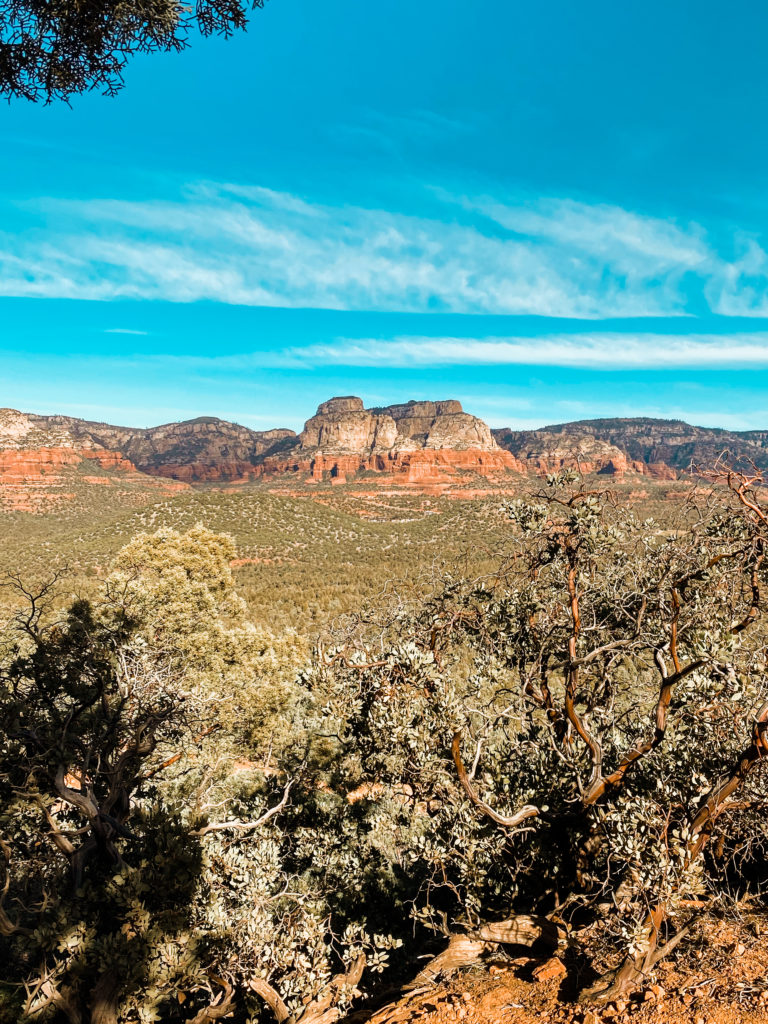
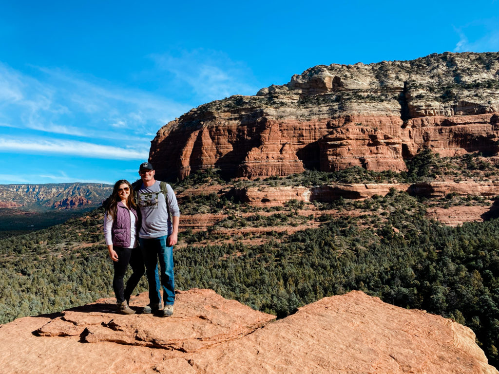
I don’t even have to tell you about the endless lookout points throughout the trail, but I had hundreds and hundreds of photos within the first hour!
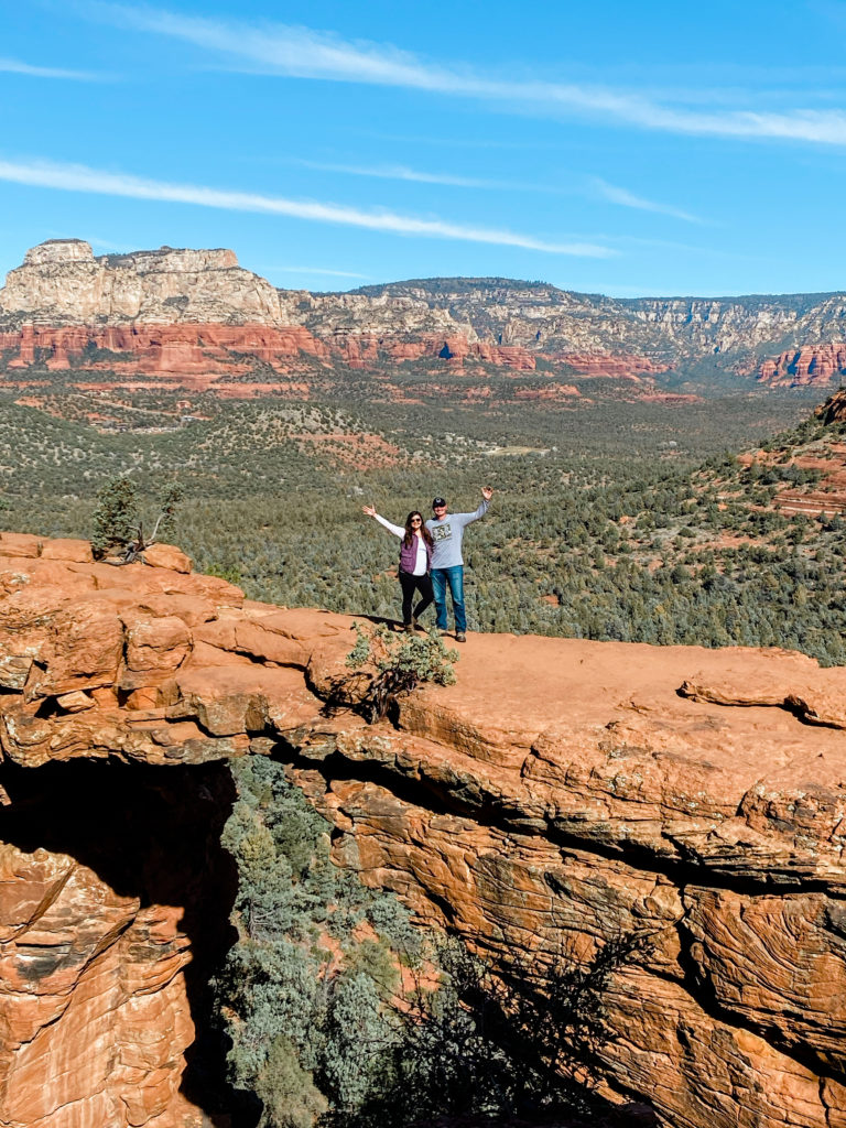
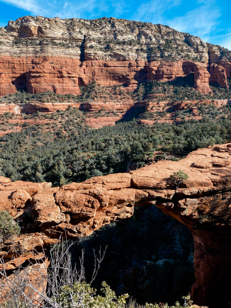
Once we reached the Devil’s Bridge, there was a line of people waiting for their photo (You can only go out to this stretch one at a time) and the line was growing quickly as the day went on. I only wish this photo could do justice just how scary and narrow it really looks in person.
CATHEDRAL ROCK
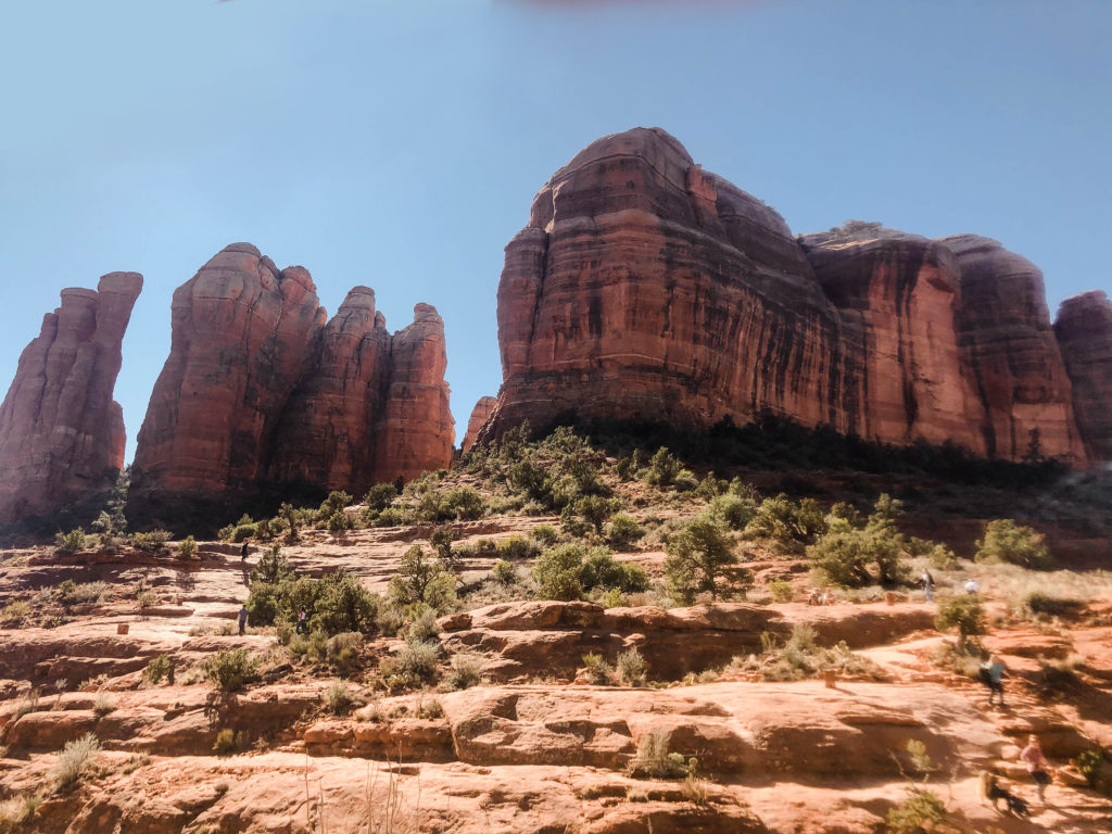
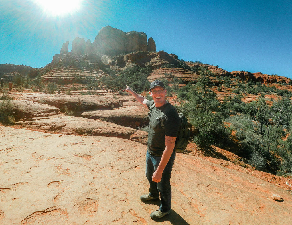
Next stop was Cathedral Rock. Although only 1.5 miles round-trip, this hike is labeled strenuous. I completely agree that this climb was TOUGH! We definitely used our hands to scramble up to the top and some of the sections were slippery.
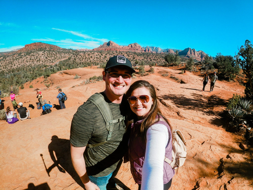
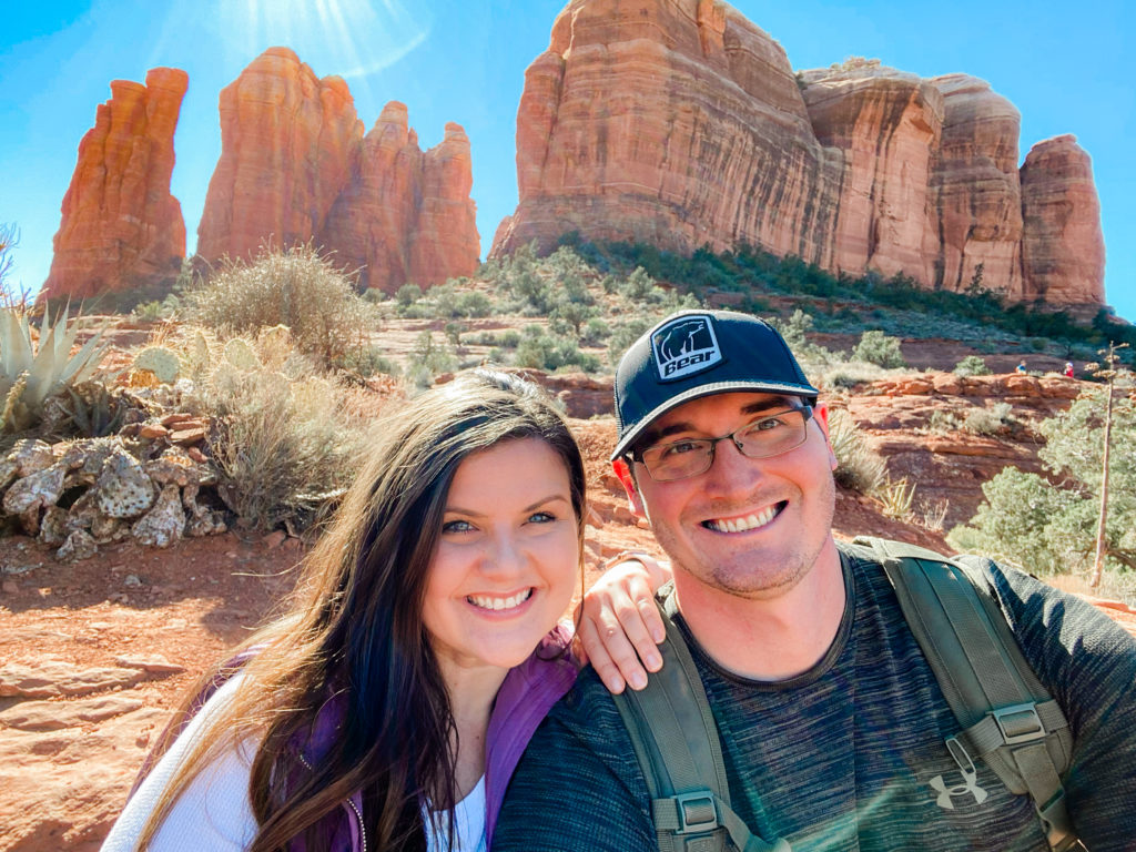
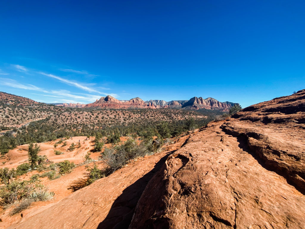
SLIDE ROCK STATE PARK/OAK CREEK CANYON
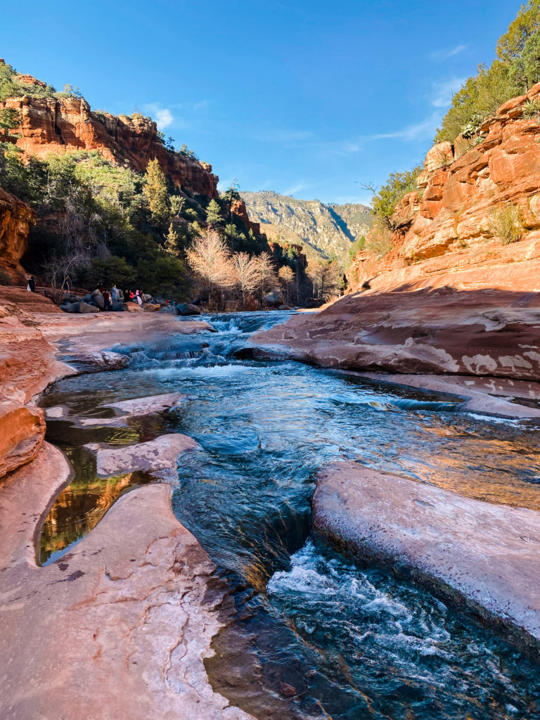
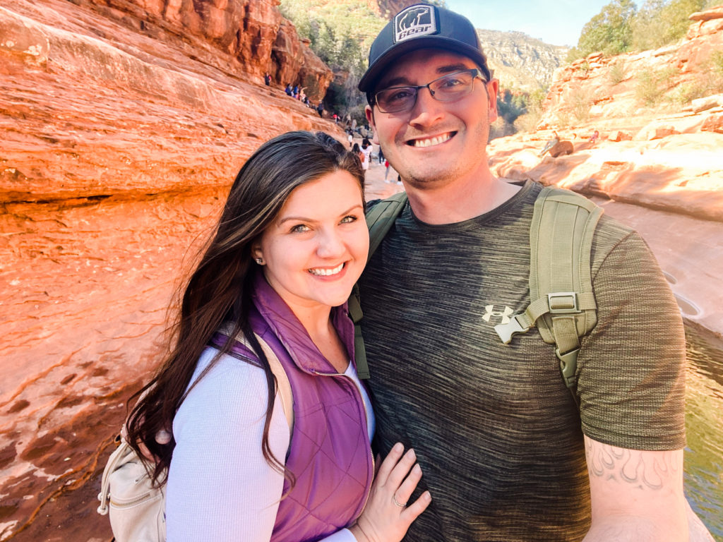
At this point of the day, we were about 18,000 steps in and wiped! So Slide Rock State Park was the perfect spot to cool off and unwind. I figured it’d be a bit too cold to get into the water, but even for February plenty of people were jumping right in!
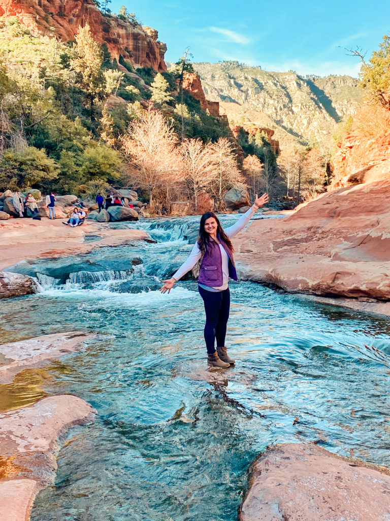
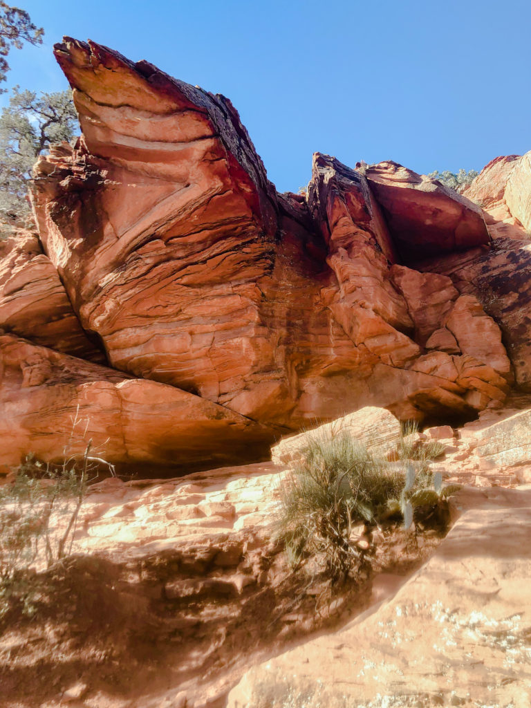
Brewer Trail/Yavapai Point
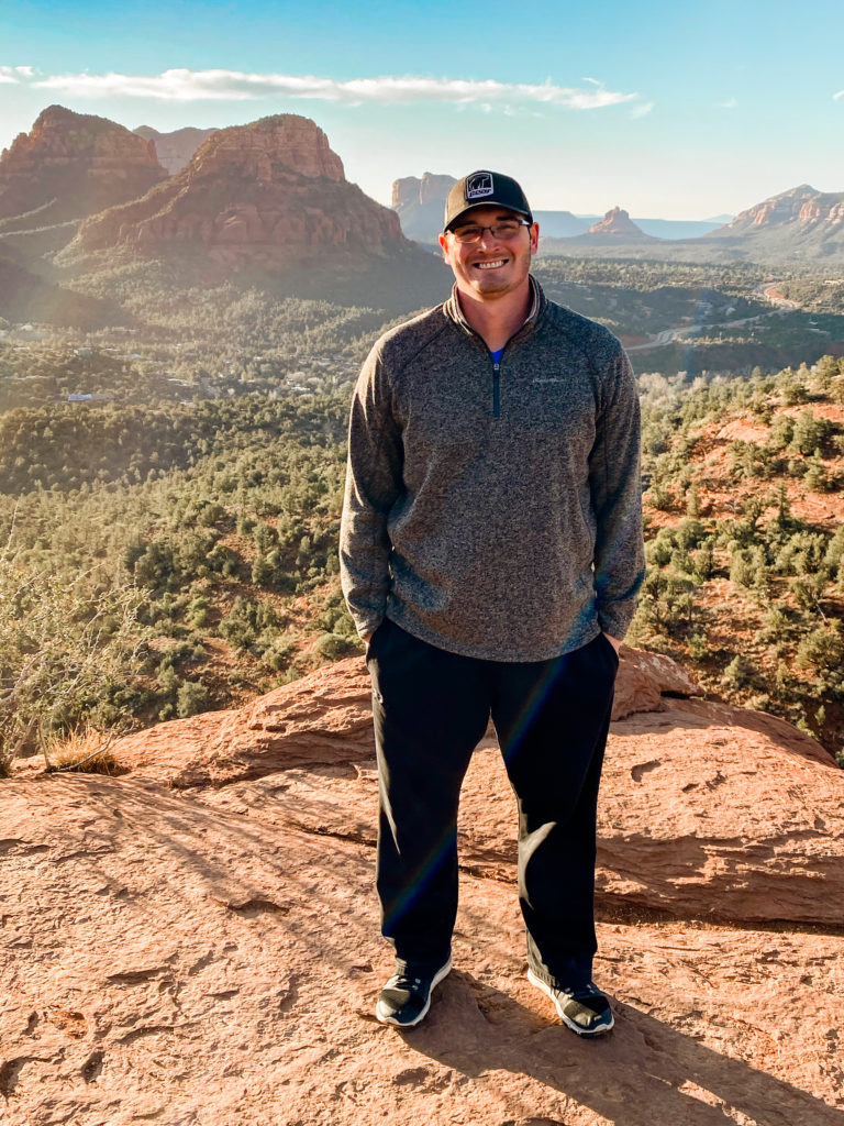
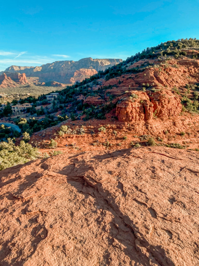
Walking along the Brewer Trail was a nice added bonus because it was right by the lodge we were staying at. This is such an awesome spot for sunrise, the only problem is the limited parking along the road. The alternative is you can pay $30 to park in a nearby lot, which is worth it if you are doing the full hike from Airport Mesa.
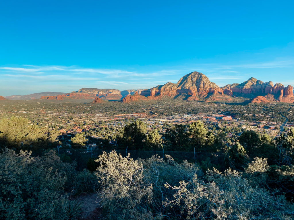
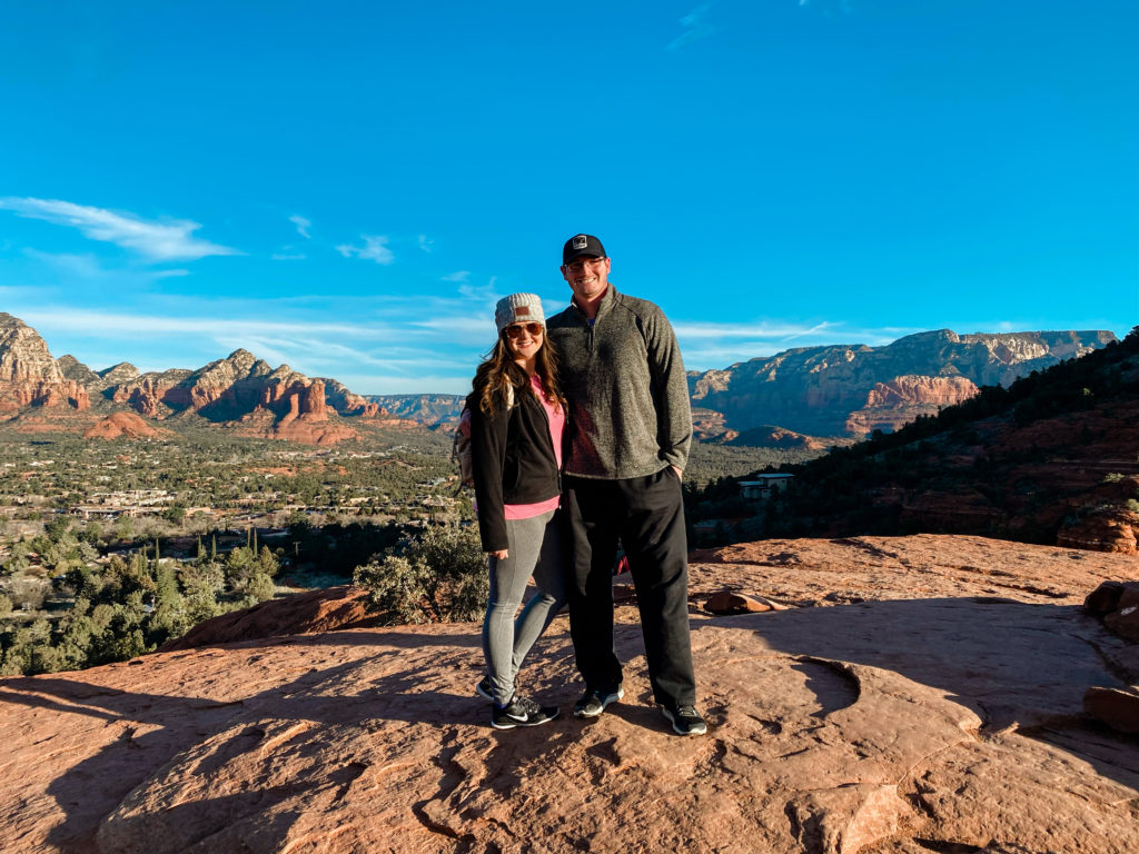
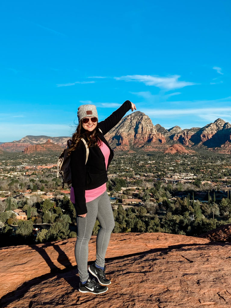
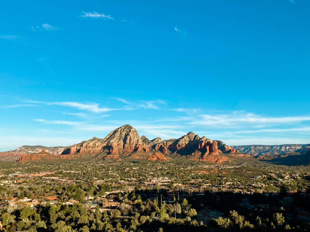
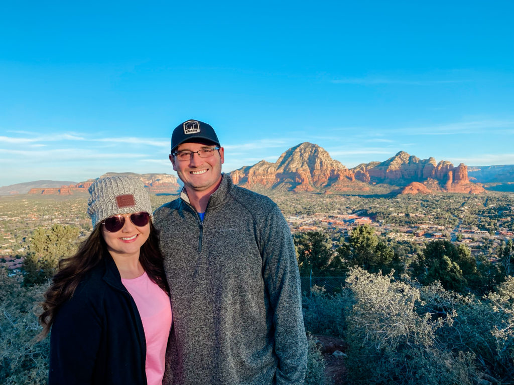
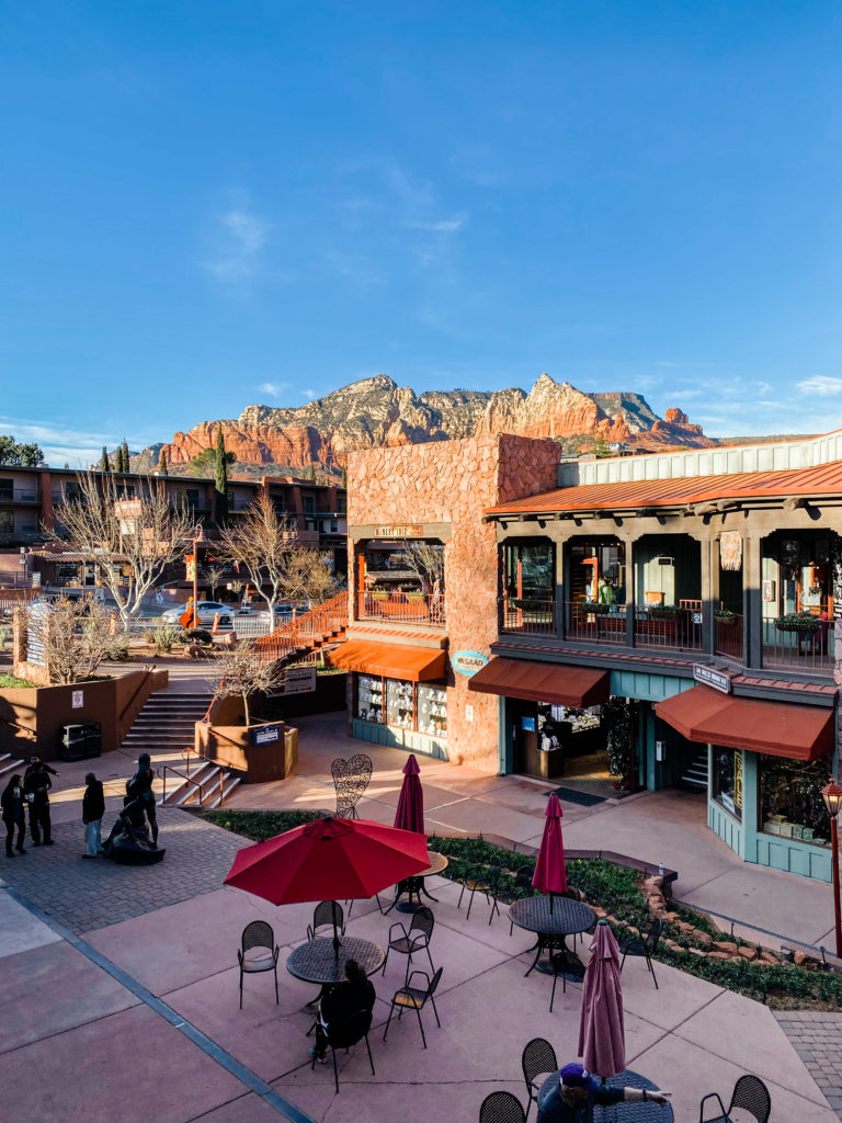
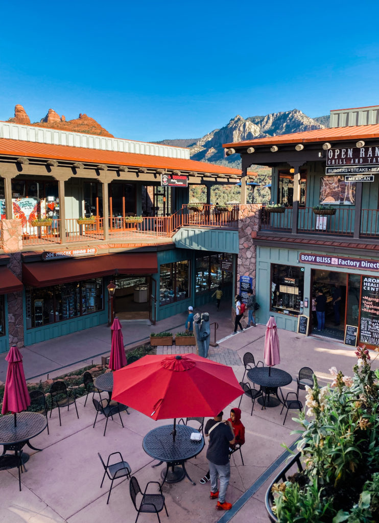
The Uptown area in Sedona is also just the cutest! If you love exploring little shops, there is no shortage. We mostly ate Tex-Mex while (particularly recommend 89 Agave) in town, but just driving along State Rt 89A you will see endless options of great places to eat.
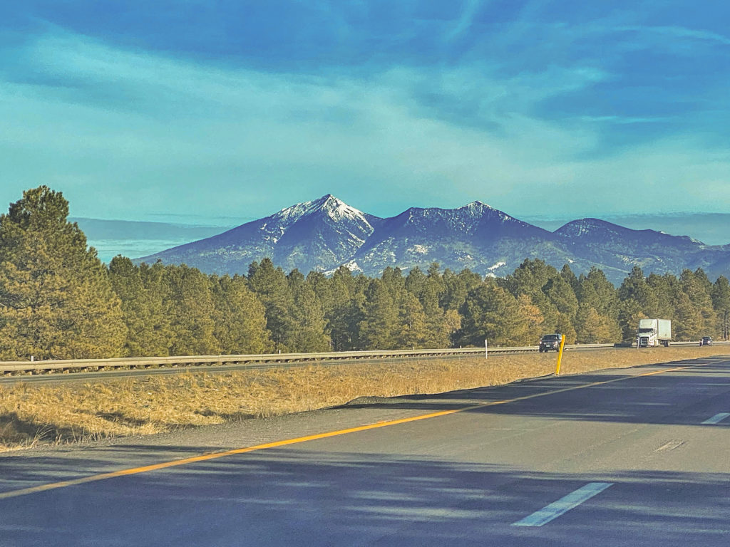
After two full days and two nights in Sedona, we headed two hours north to the Grand Canyon, South Rim (North Rim is closed in the winter).
GRAND CANYON, SOUTH RIM
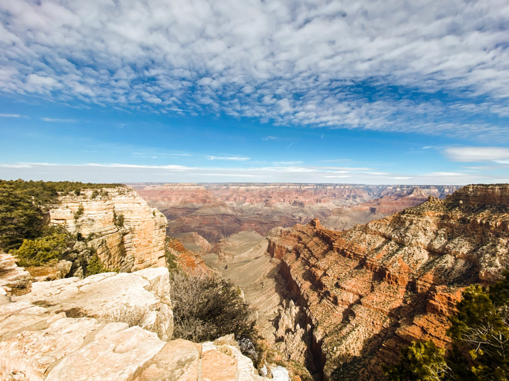
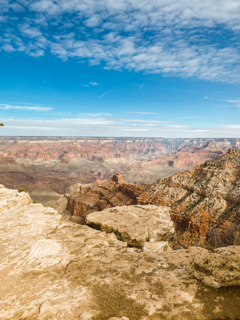
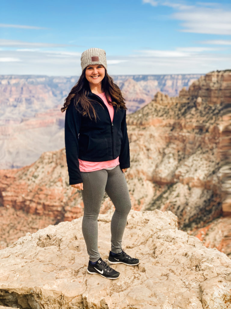
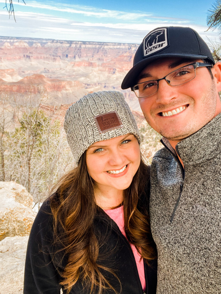
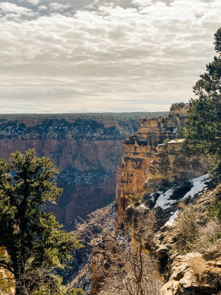
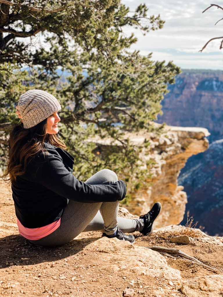
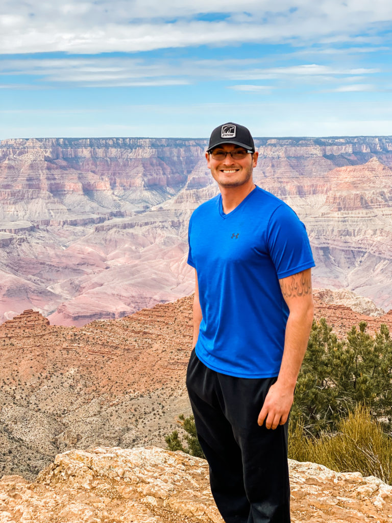
I had been to the Grand Canyon for a quick stop around this time last year. It is incredible how much weather can factor into your experience of an experience. I am beyond grateful that mother nature was on our side this time, and we could not ask for a more crystal clear, blue sky day.
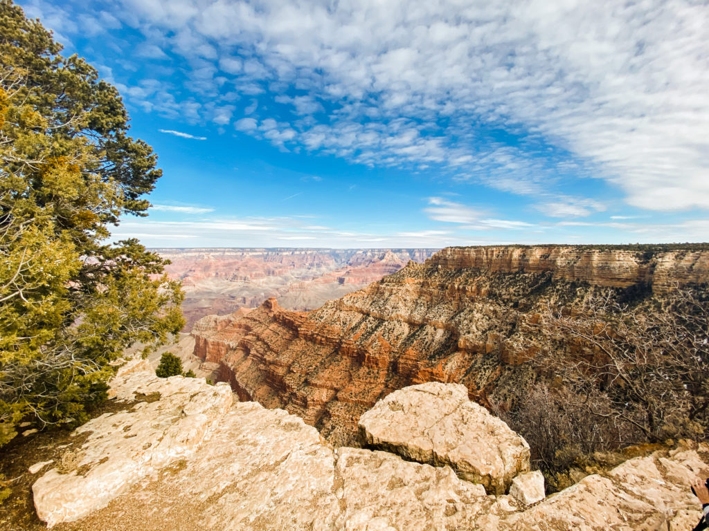
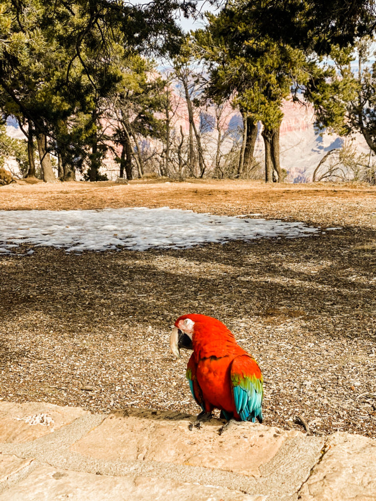
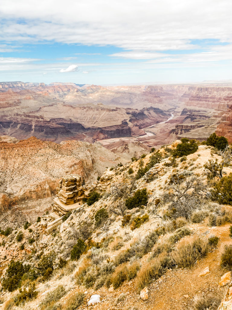
North Rim is closed during the winter, but even if it wasn’t, the South Rim seems to be the place to be at the Grand Canyon. Our plan was mostly to hit all of the major lookout points along Desert View Drive: Grandview Point, Moran Point, Lipan, Najavo, etc.
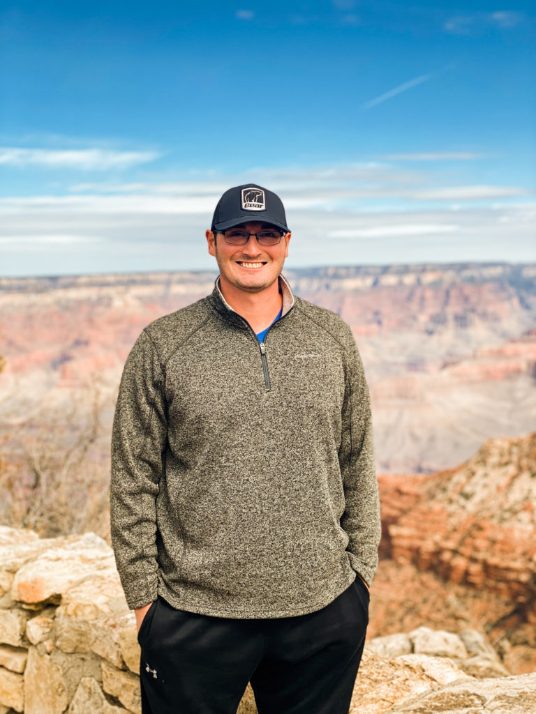
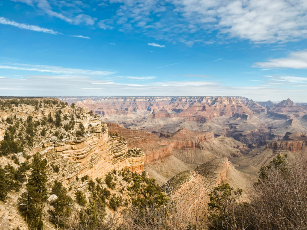
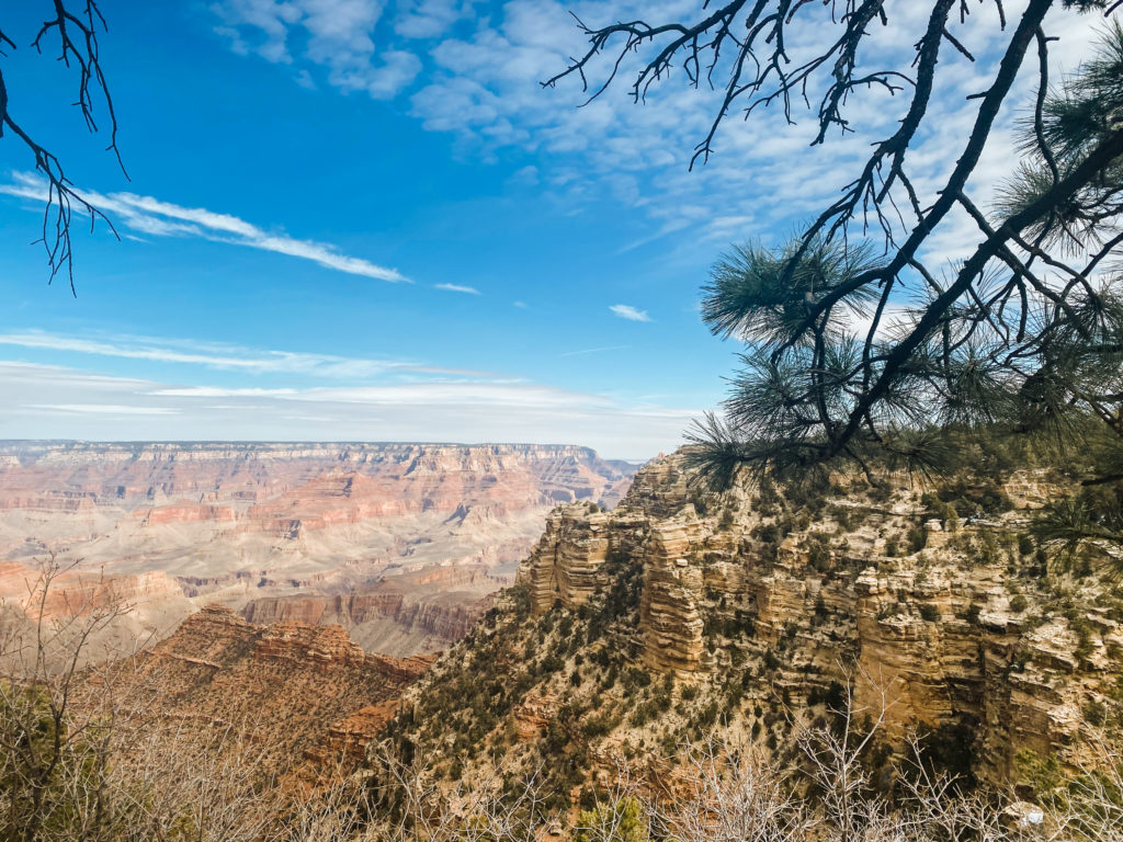
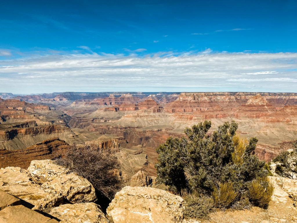
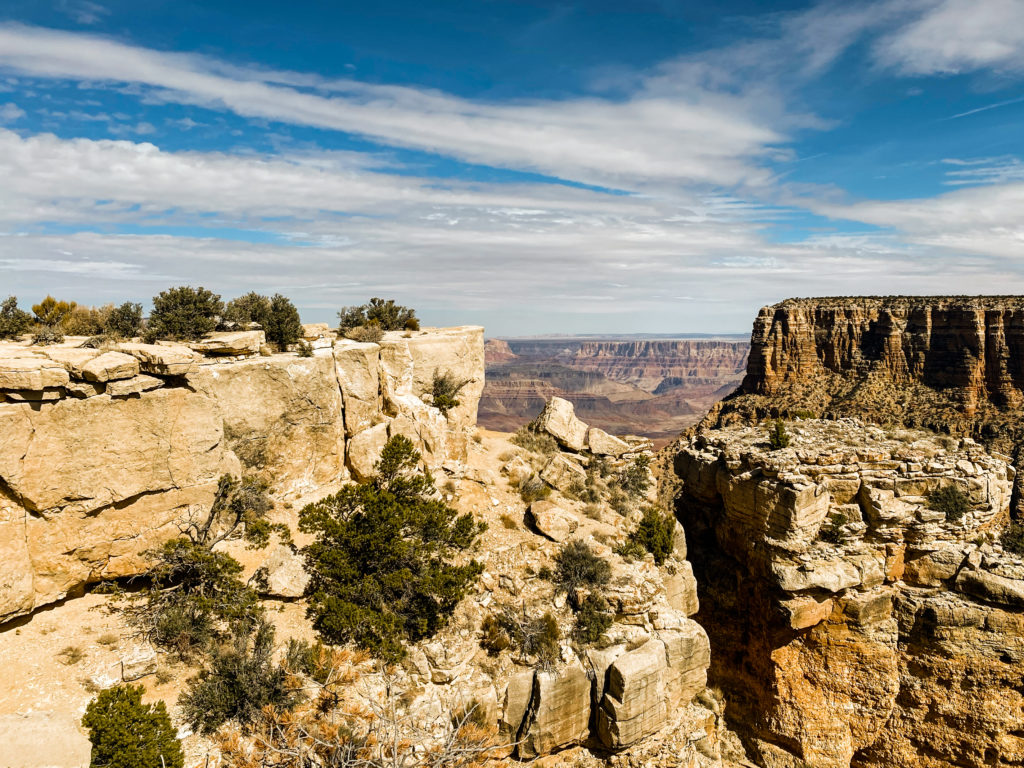
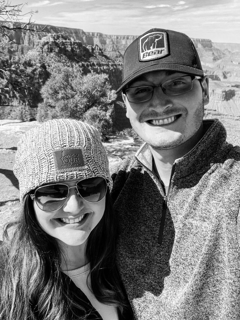
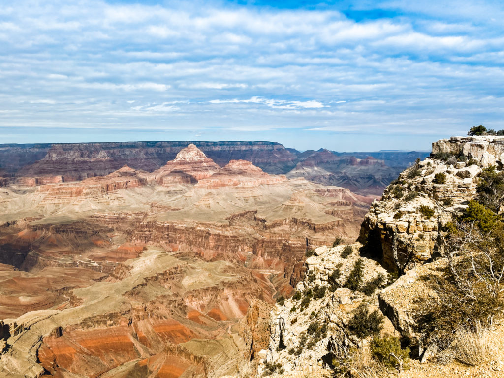
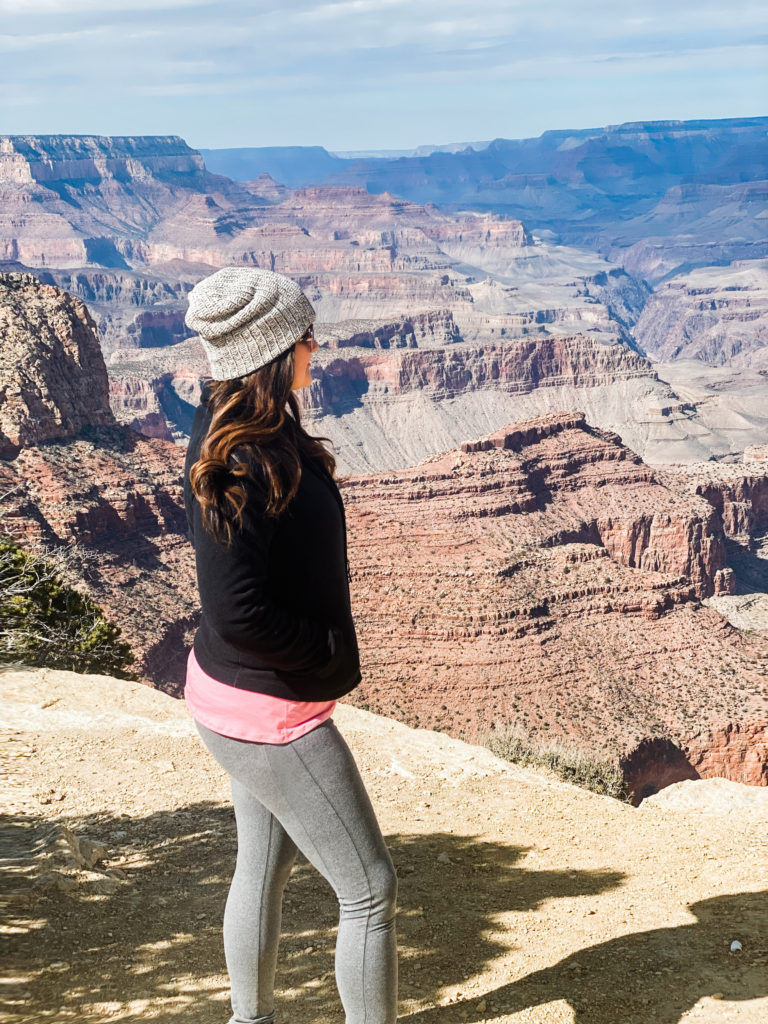
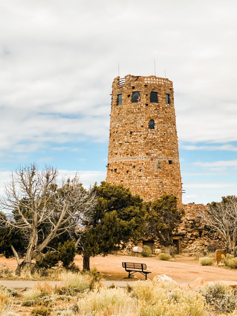
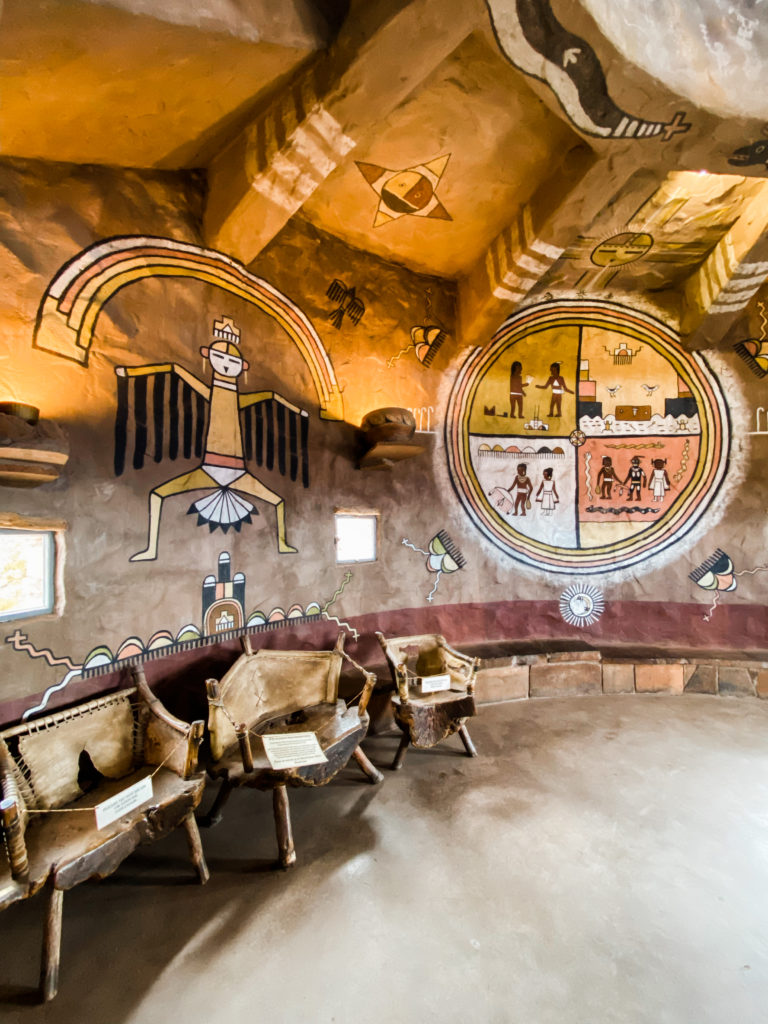
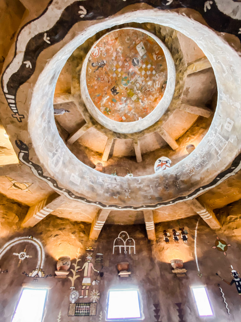
Desert View is the last stop (if you’re coming in from East to West) and has a 7-story watch tower for additional views.
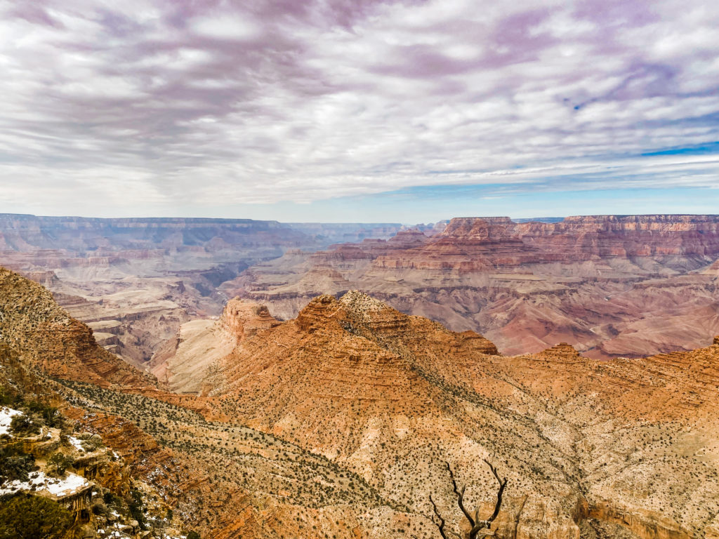
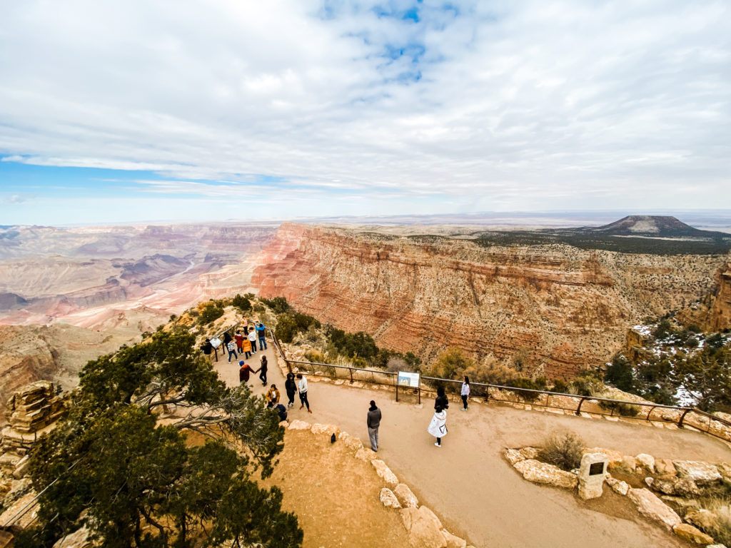
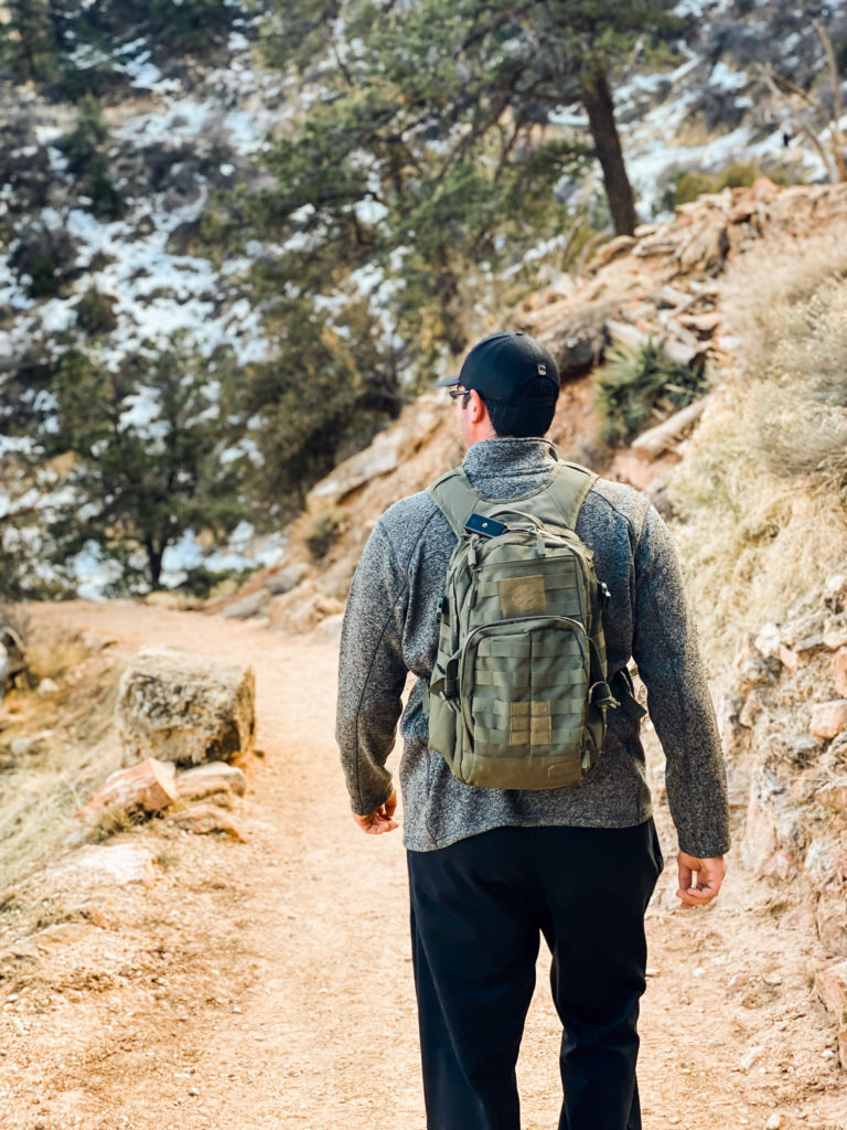
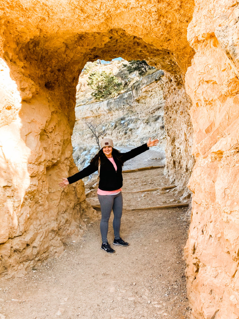
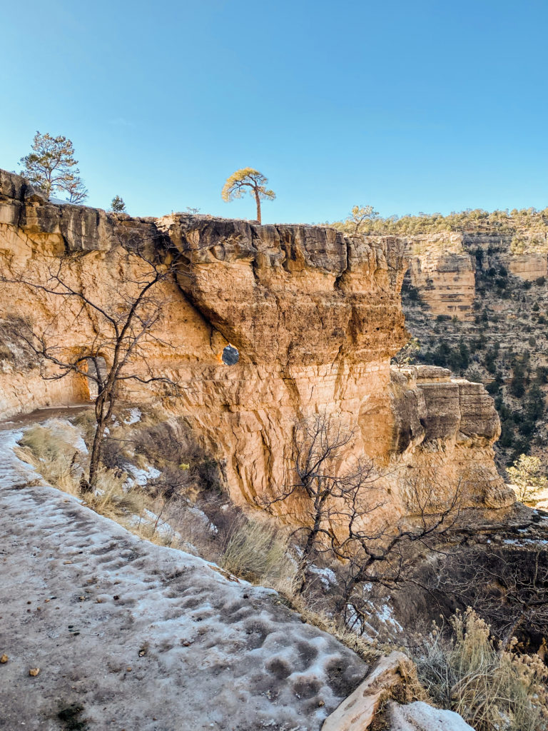
At this point we decided to be adventurous and head over to the opposite end of the South Rim and head down Bright Angel Trail. There are several destinations to choose from along the Bright Angel Trail ranging from short distances all the way to the bottom of the canyon. We made it less than a mile into the canyon because the paths were too icy for us to keep going. Although I am amazed at the courage I witnessed so many hikers have as they powered through the weather. As Laurell K. Hamilton said, “I’m not afraid of heights, but the idea of falling from them, well, that I’m afraid of.” This is so particularly fitting for the Grand Canyon!
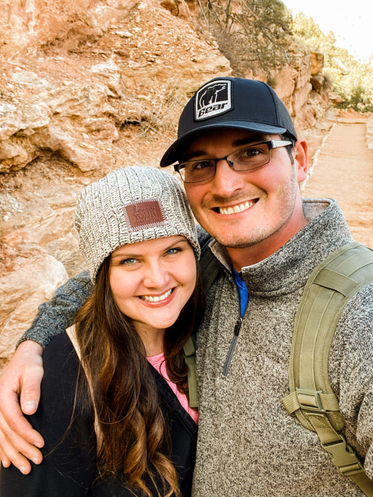
During this visit, we stayed at the Grand Canyon Inn. We were only here for one night. We had dinner at the Squire Pub (located at the Best Western Restaurant). We were really happy with the burgers here. There are not very many choices along Route 64, but for the handful of restaurants you do see, people seem to be raving about all of the food selections.
BRYCE CANYON
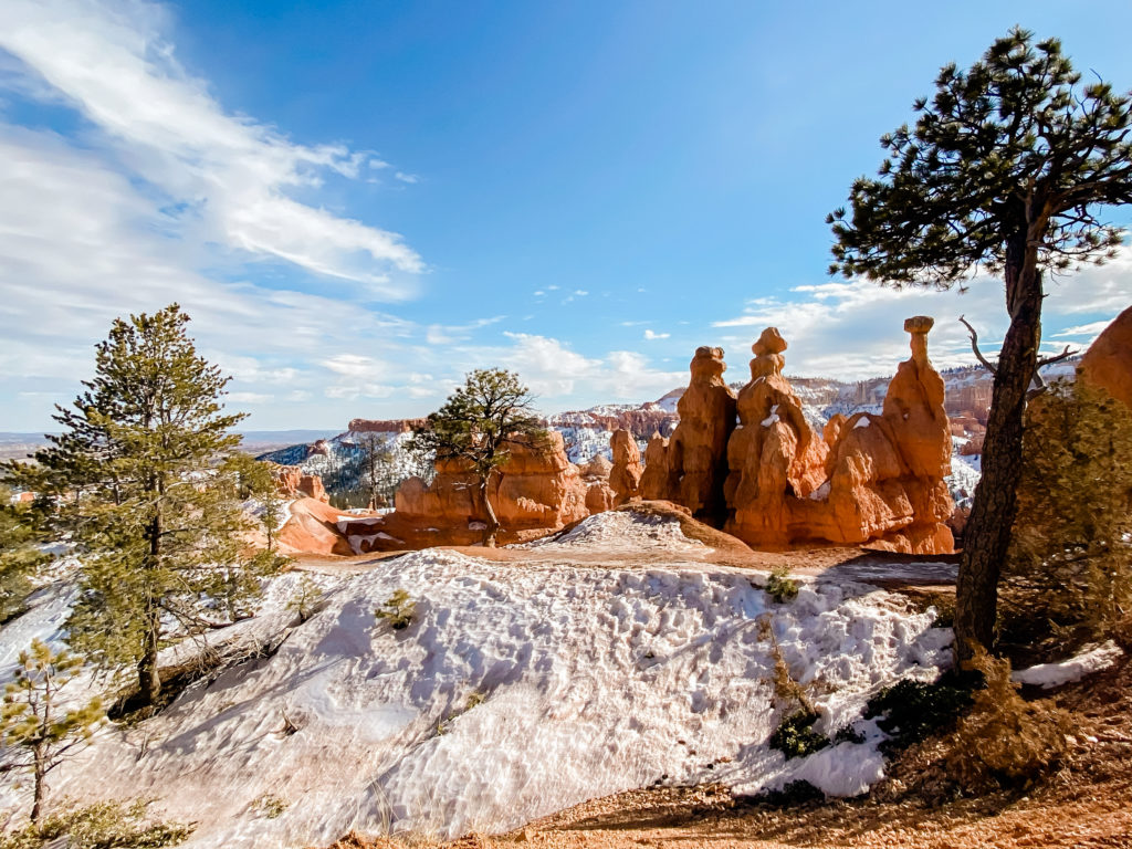
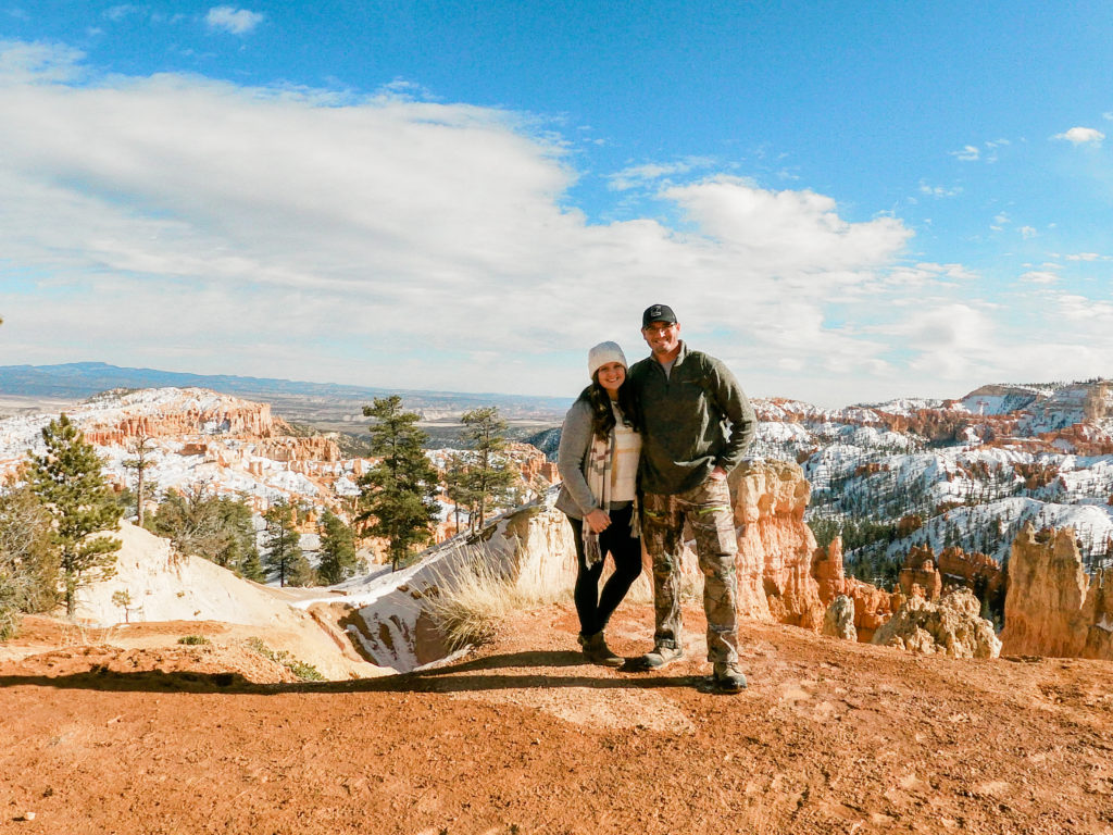
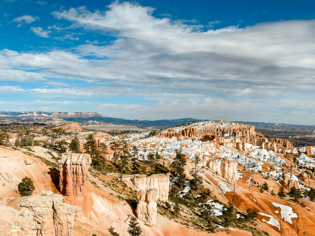
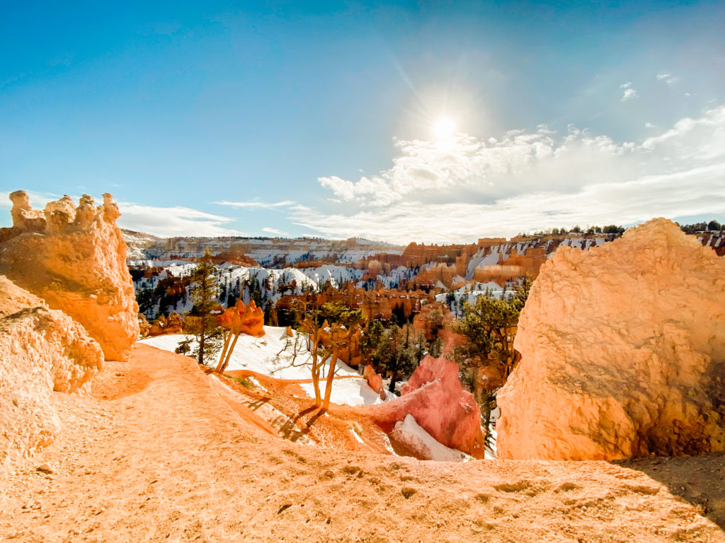
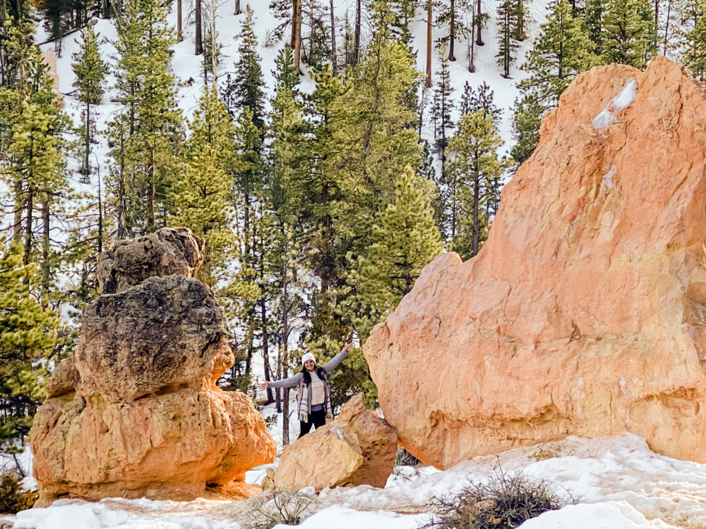
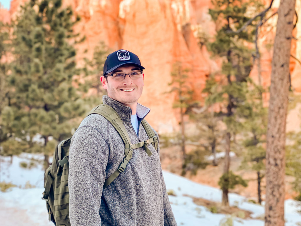
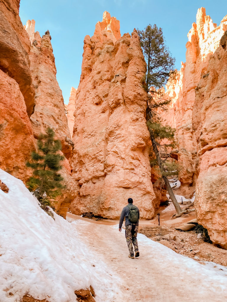
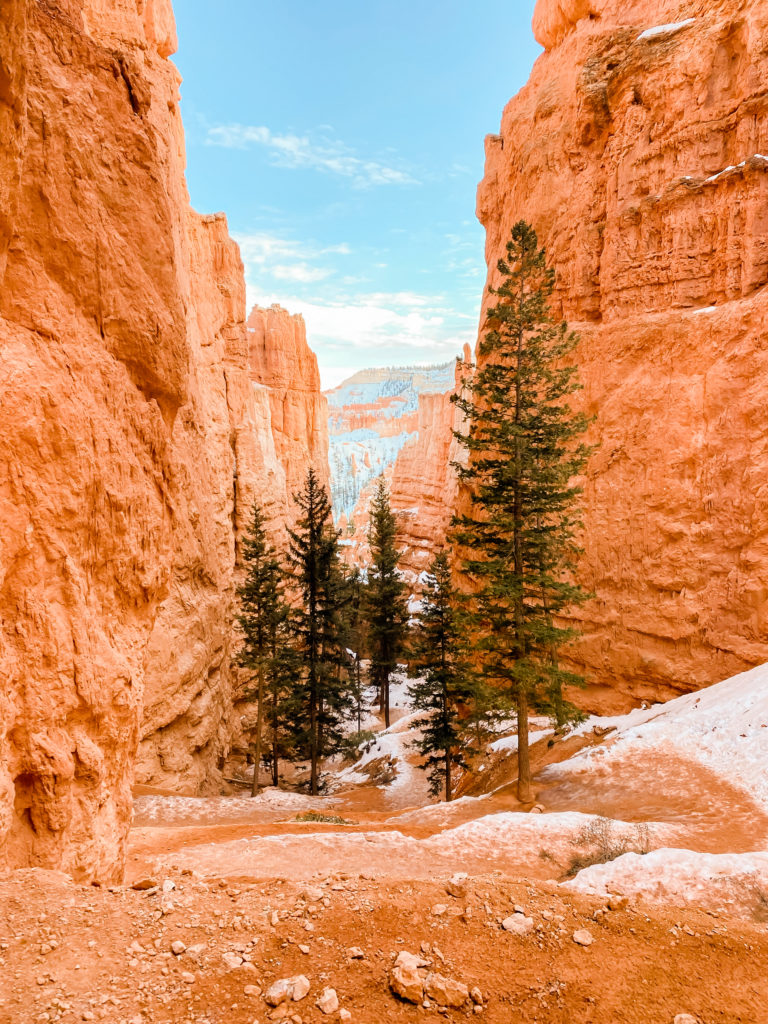
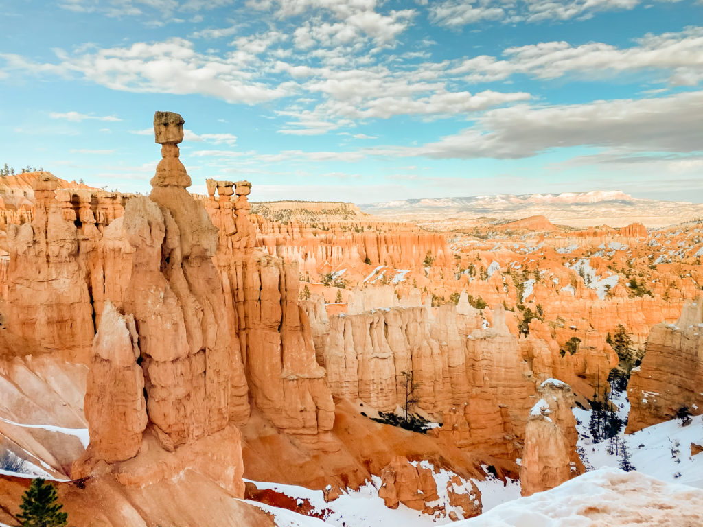
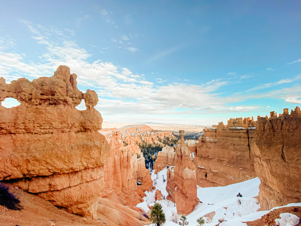
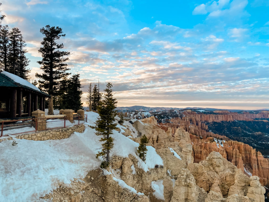
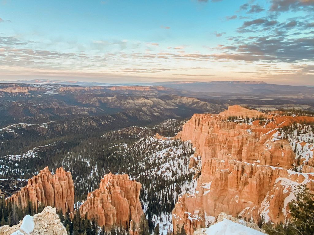
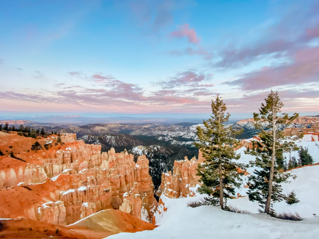
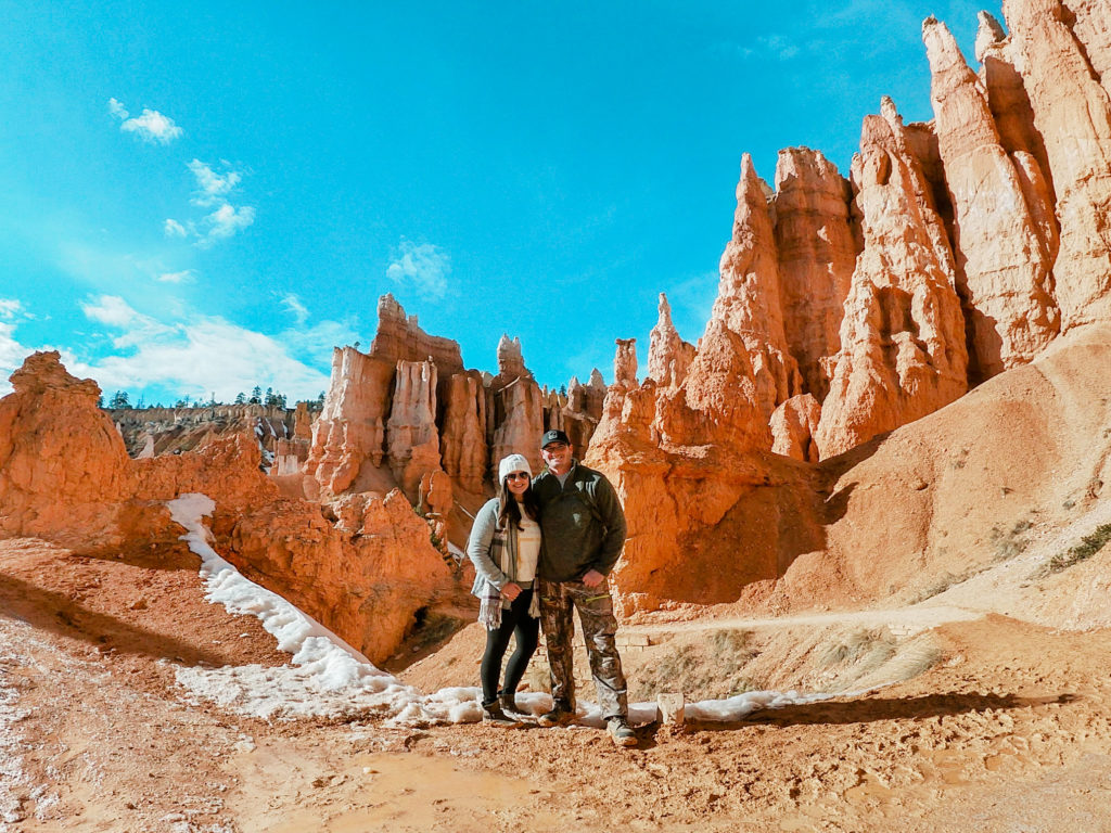
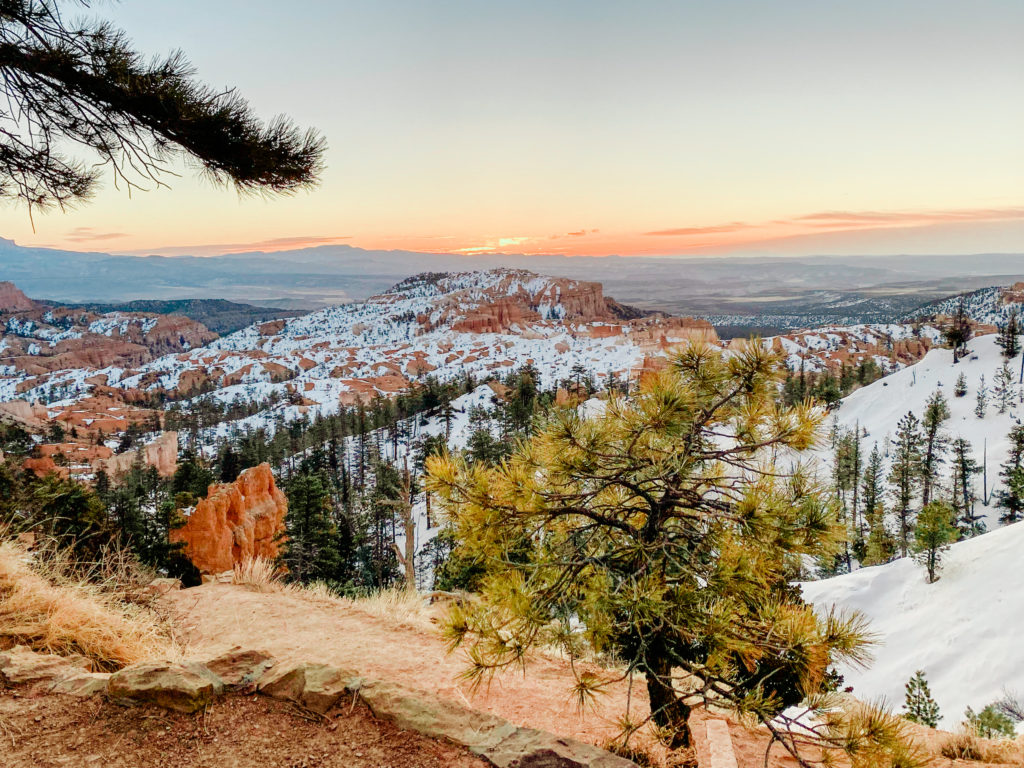
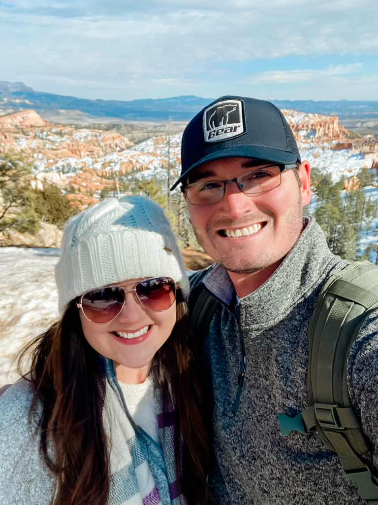
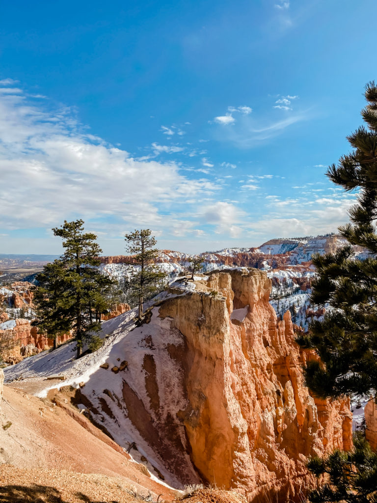
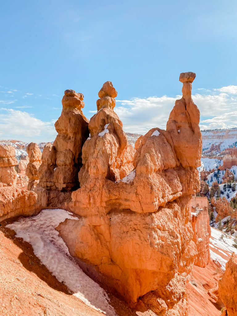
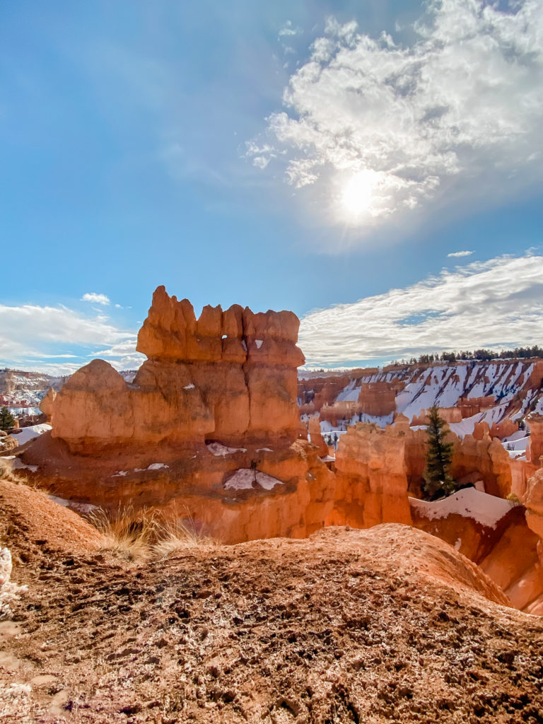
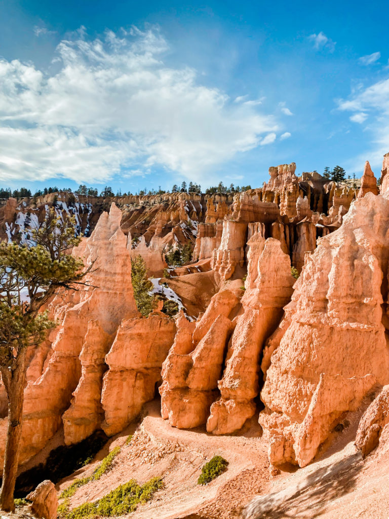
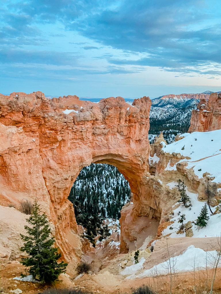
Next stop: A 4.5 hour drive even further up North into Bryce City, Utah. Utah has to be the most picturesque state of them all. I absolutely loved every minute of driving through this state! Bryce Canyon National Park in itself is more beautiful and more breathtaking than any picture you could ever take. We stayed at the Best Western and LOVED it here! We learned that during the winter off-season, a lot of the restaurants are closed. We found a fun buffet across the street at Ruby’s Inn and a couple of other Canyon Diners within a mile!
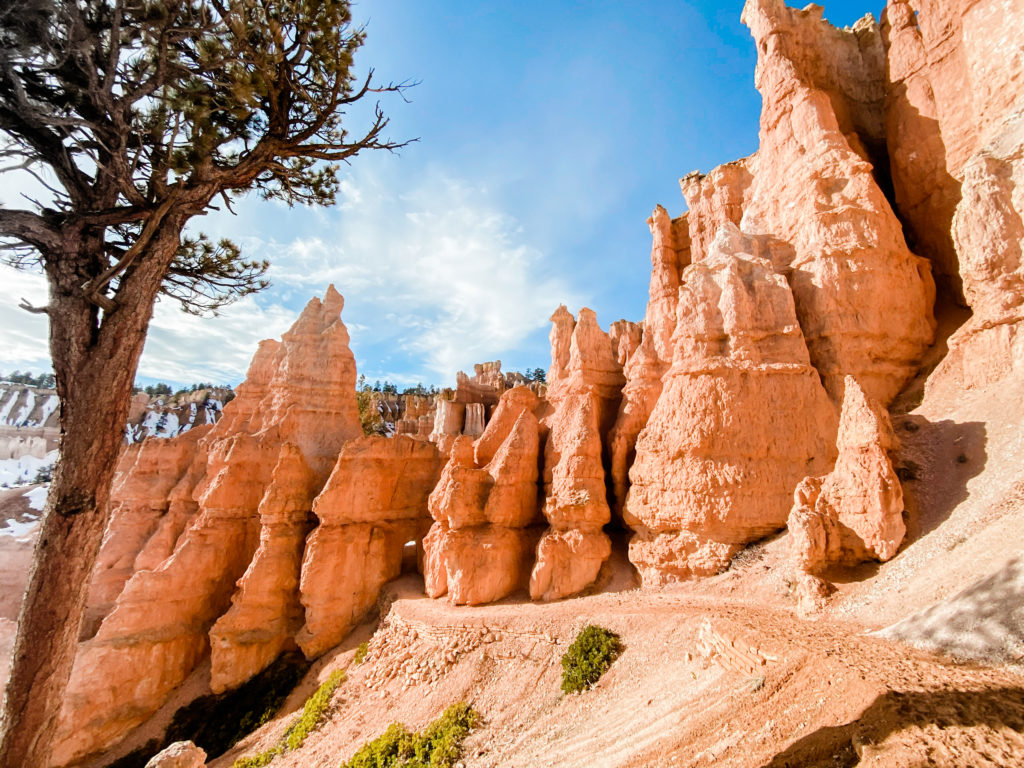
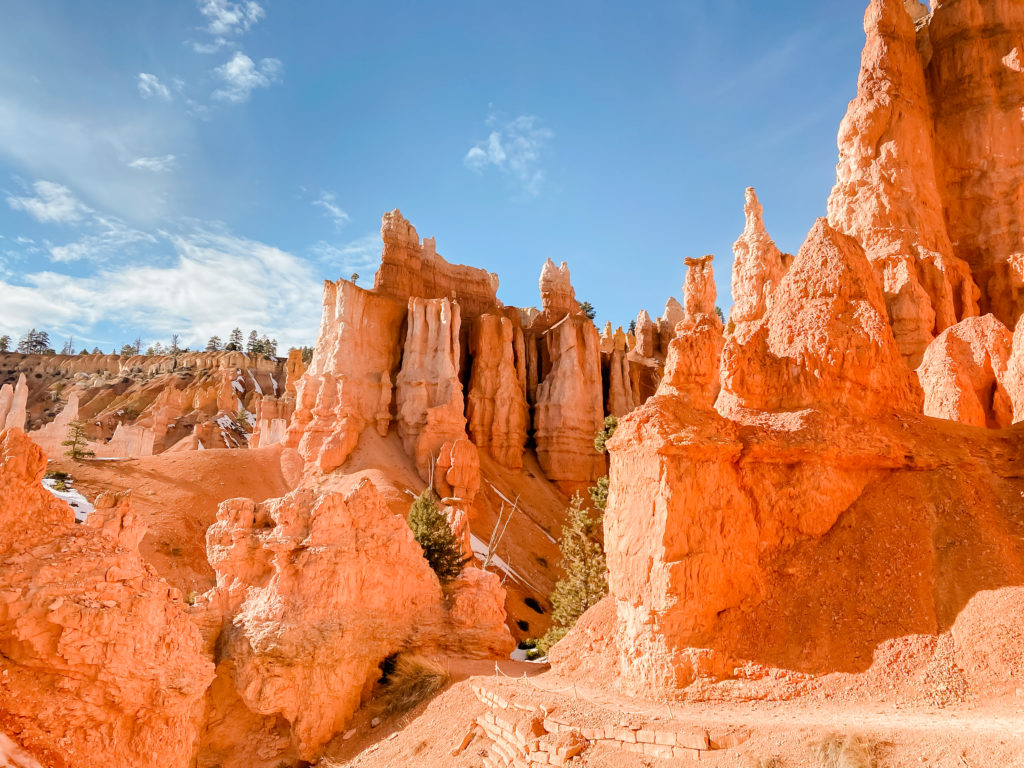
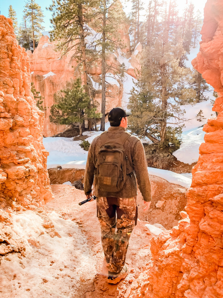
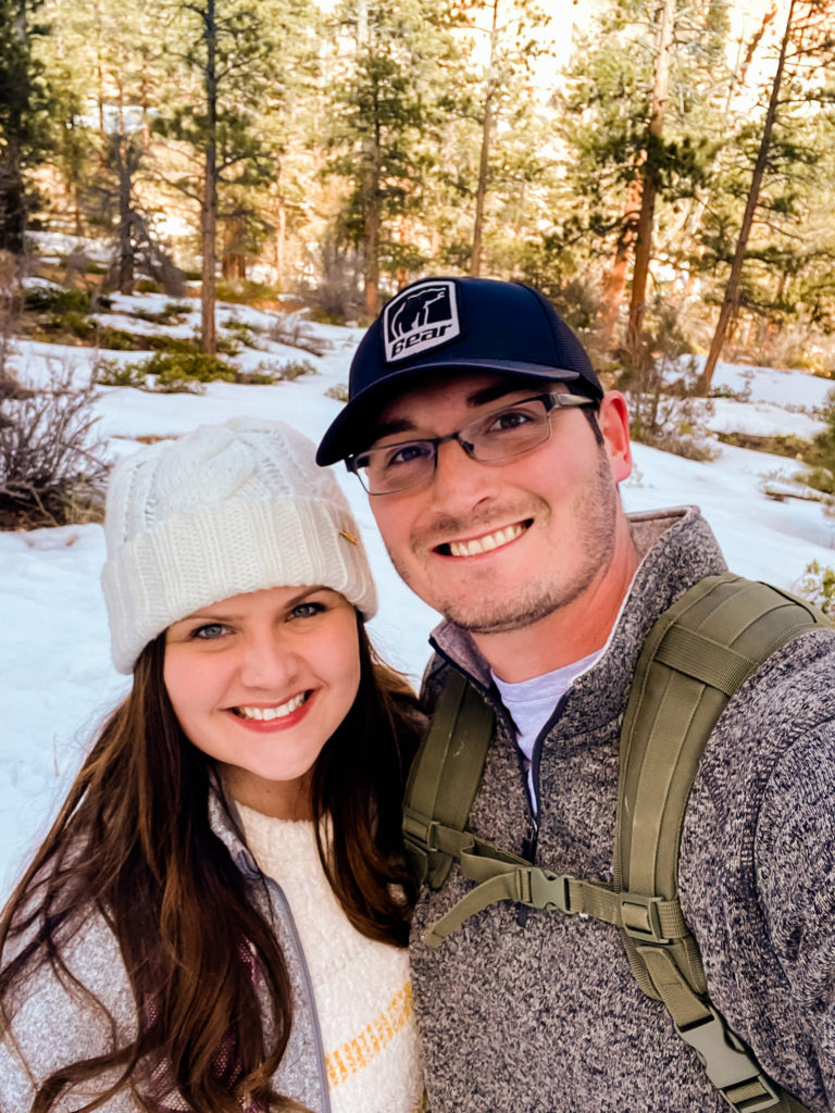
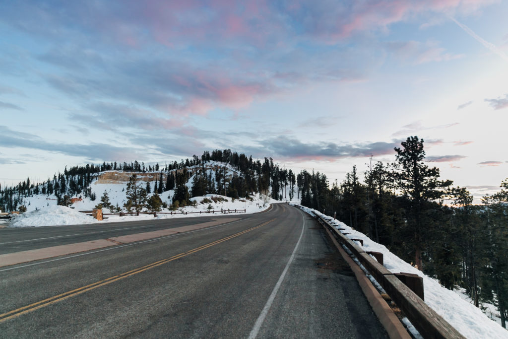
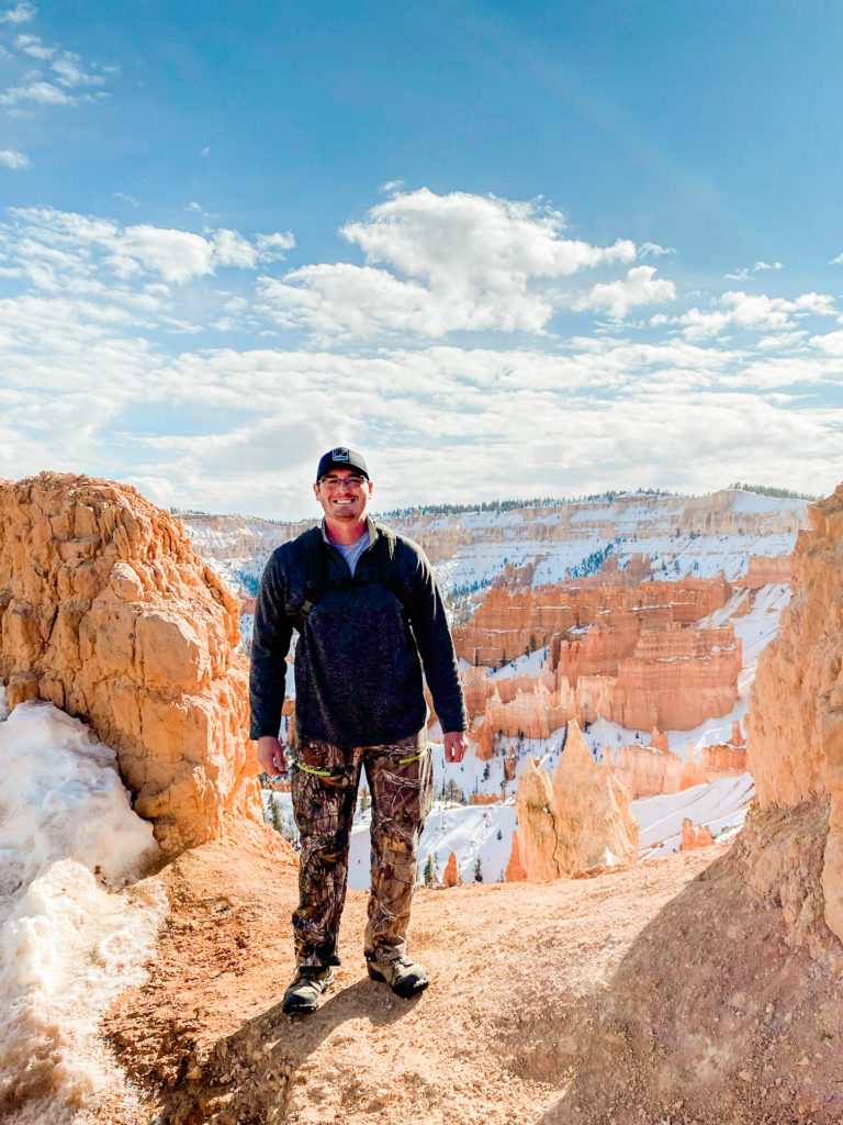
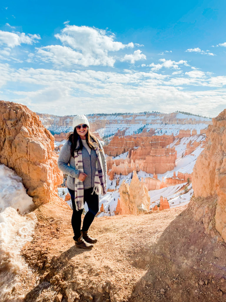
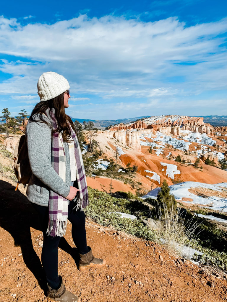
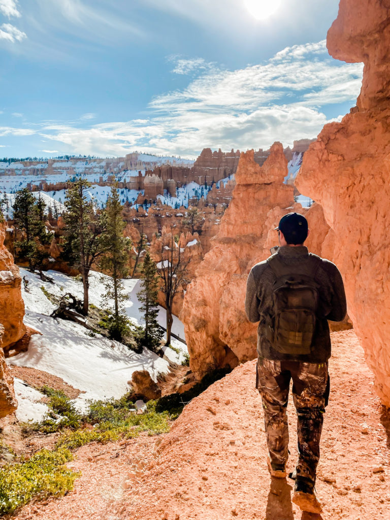
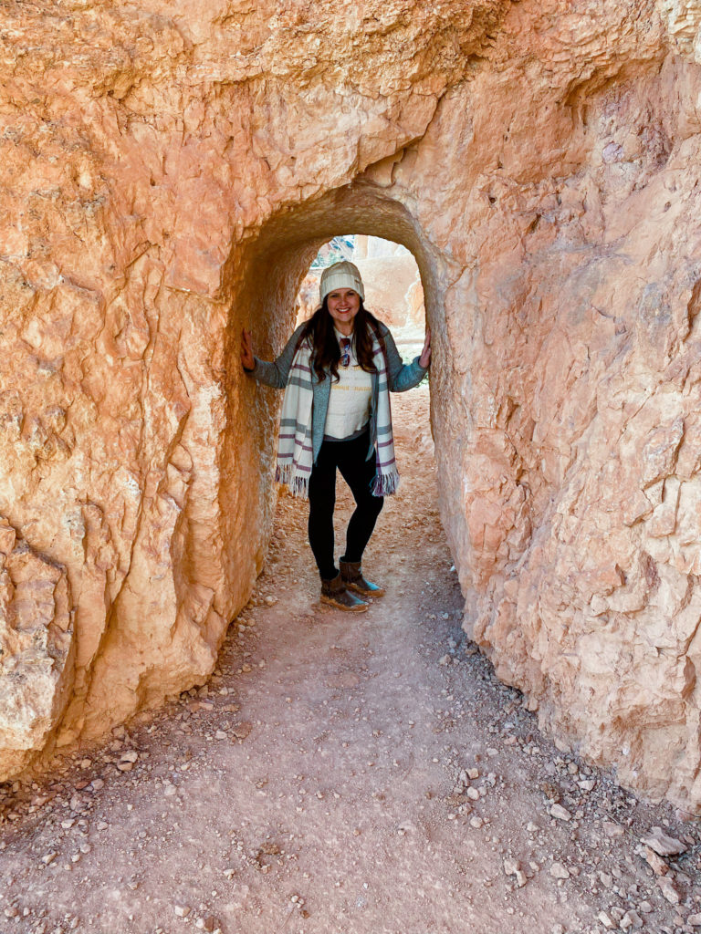
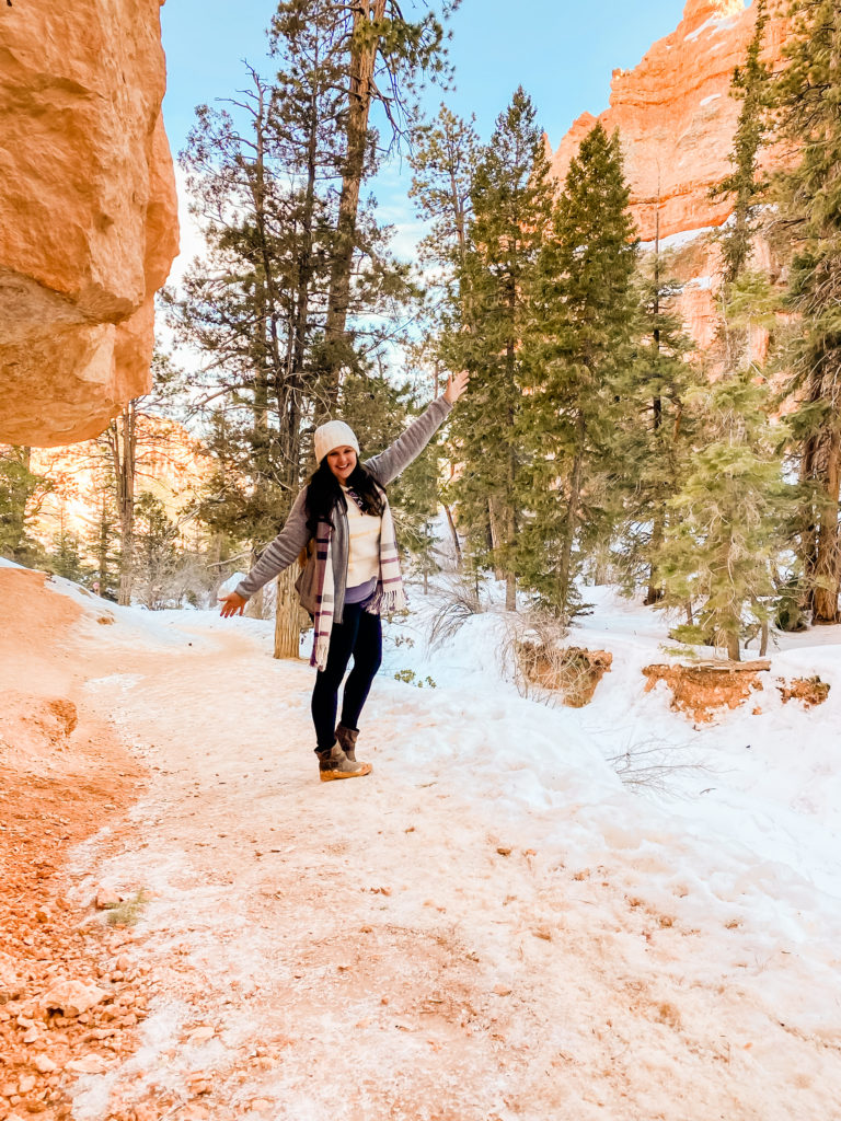
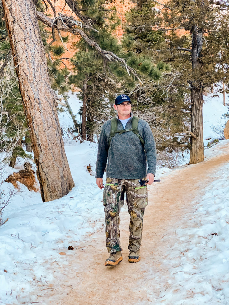
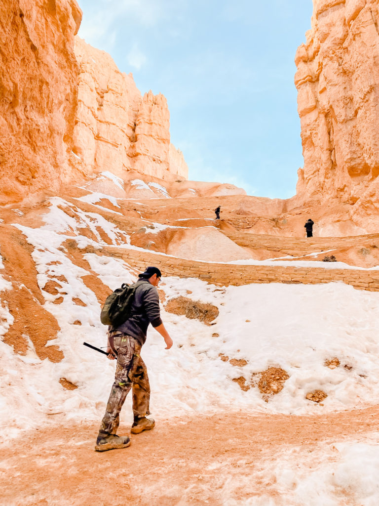
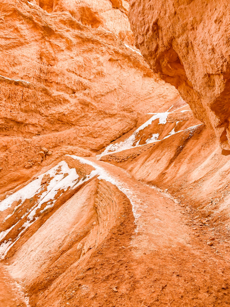
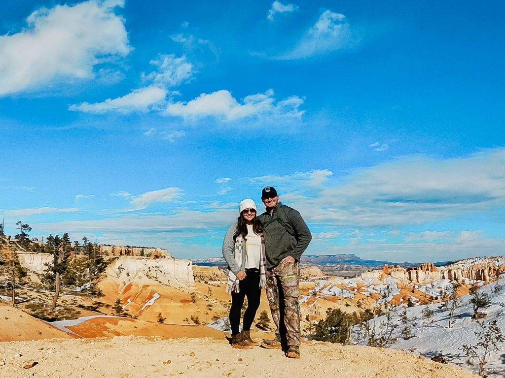
Like most national parks, there are several different types of hiking trails to choose from at Bryce Canyon that vary in levels of difficulty and length. We knew we only had one day to spend here, so we chose the Queen’s/Navajo Combination Loop and hiked from Sunrise Point to Sunset Point. It’s a moderate to easy hike of about 3 miles roundtrip. This left us with enough time to drive through all of the other lookout points to catch the sun setting. I’ll let the pictures mostly speak for themselves here.
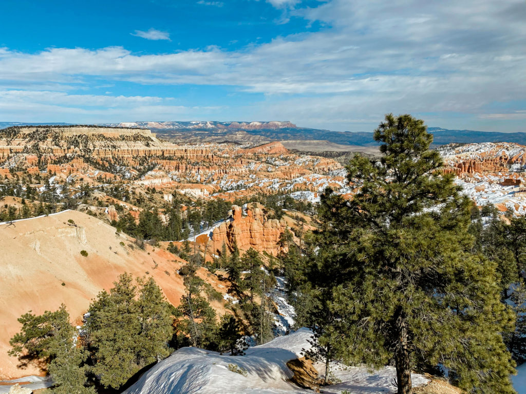
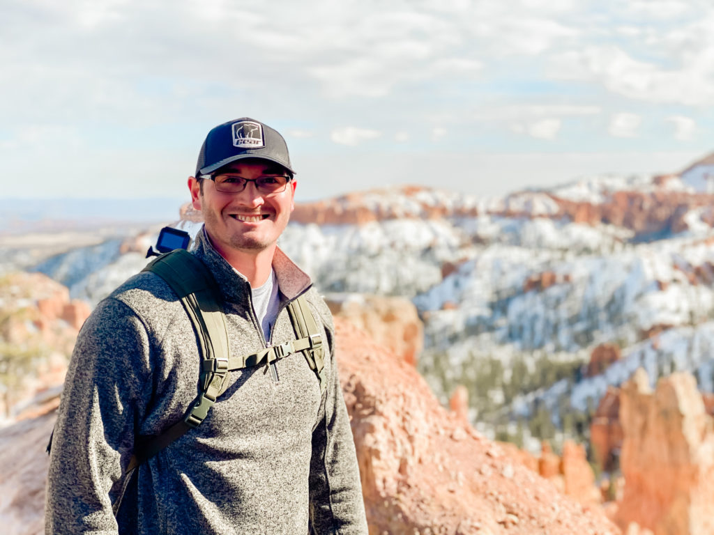
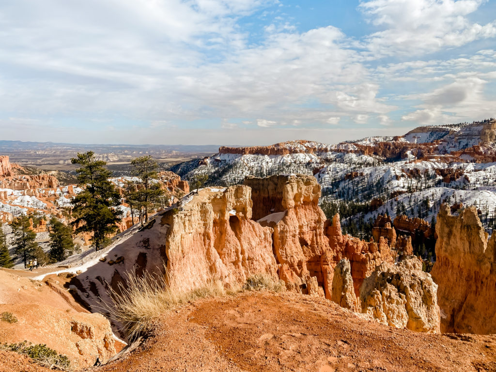
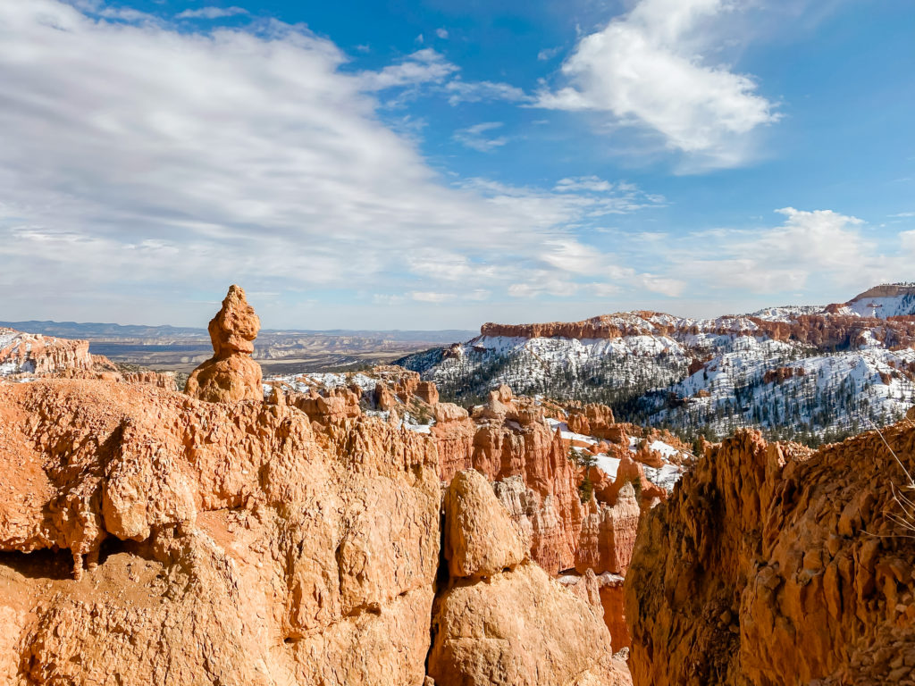
GRAND STAIRCASE NATIONAL MONUMENT/ESCALANTE, UTAH
You can spend WEEKS exploring the Grand Staircase National Monument and still not see everything this area of Utah has to offer. The best piece of advice I can give someone interested in exploring this area is to go to a visitor center before you do anything. No google search or travel blogger can convey the complexity of how much there is to see here. I tried to research before going and found conflicting information about how long certain hikes were and what they were even called.
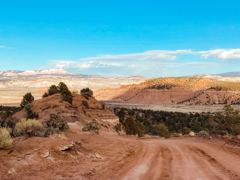
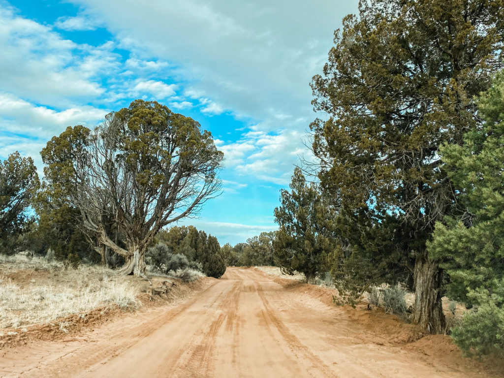
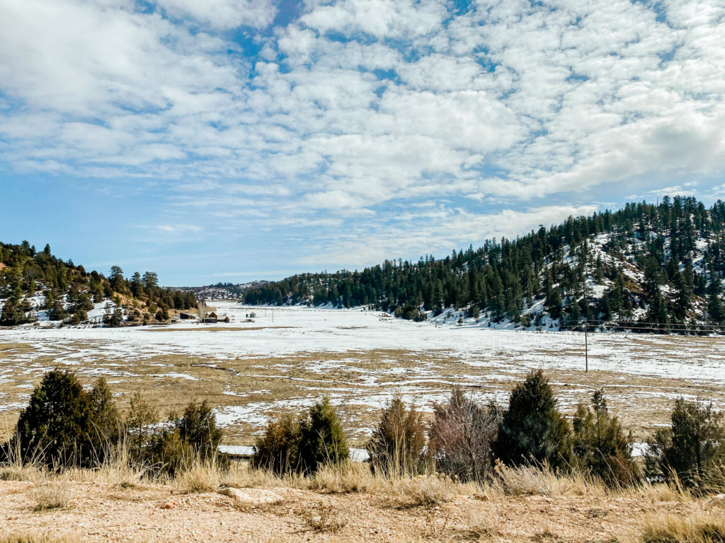
The second piece of advice I would give is that a sedan (we had a Hyundai Accent) might not cut it for some of the places you need to drive to. The first place we wanted to explore was Dry Fork Trailhead. The last hour of the drive over was unpaved, dirt roads. We were lucky with the weather, but this could’ve been really difficult if it was rainy and muddy. A lot of other places, like Willis Creek, would’ve been completely uphill on narrow, windy, dirt roads. Needless to say we passed on these!
SPOOKY GULCH
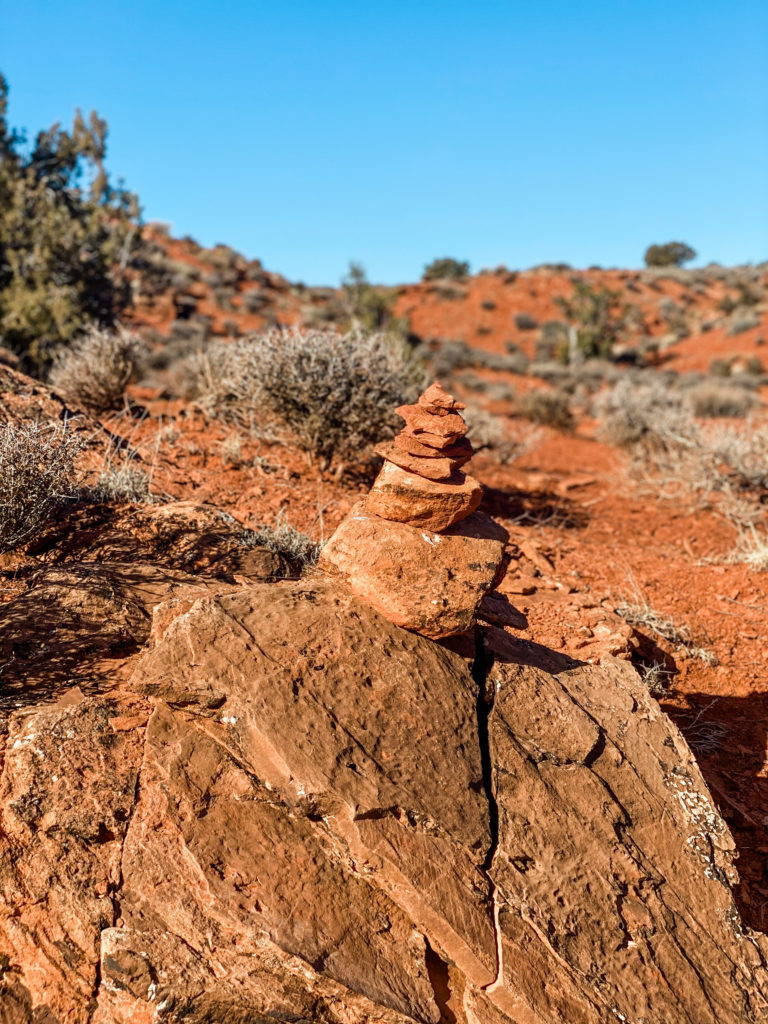
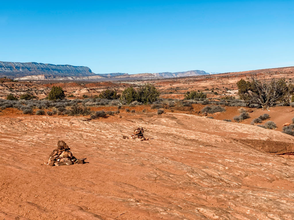
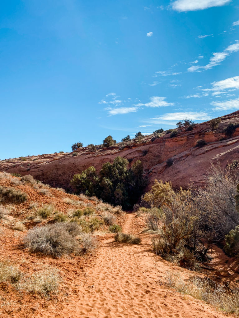
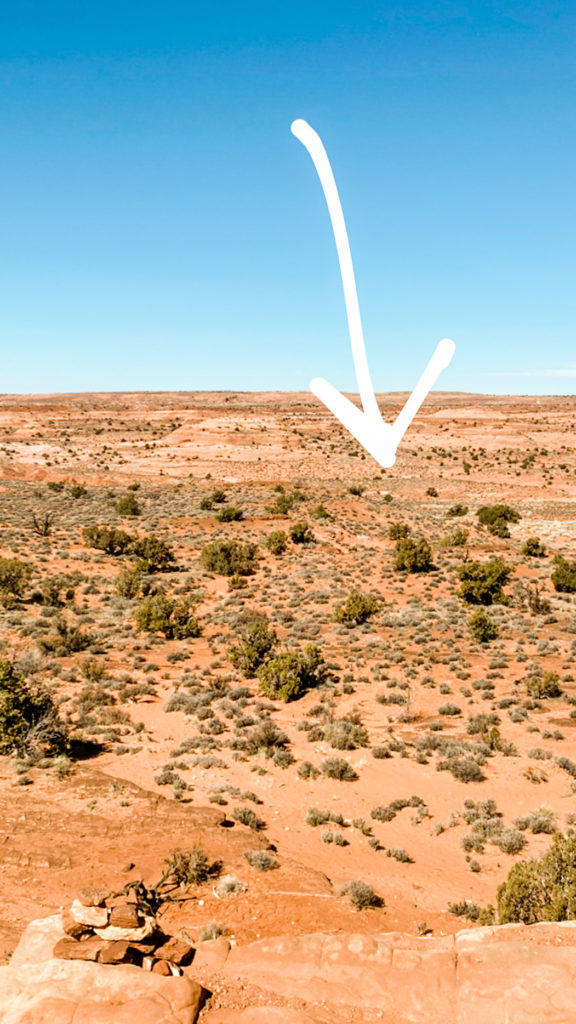
Unlike any other hike I’ve ever done in my life, I had no idea where we were going or what we’d be seeing when we signed up for this. There are also zero signs to let you know that you’re going in the right direction. We followed cairns (man-made piles of rocks created for hikers to guide them) for the entire 3-miles.
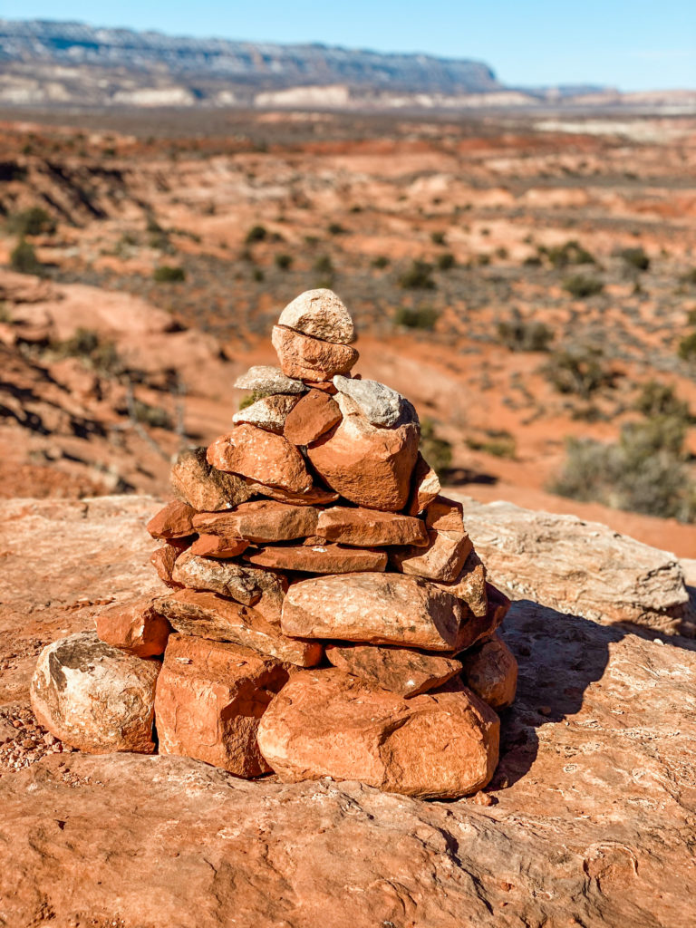
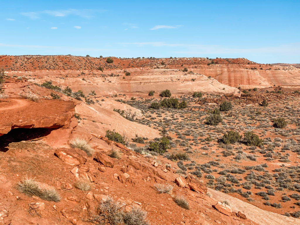
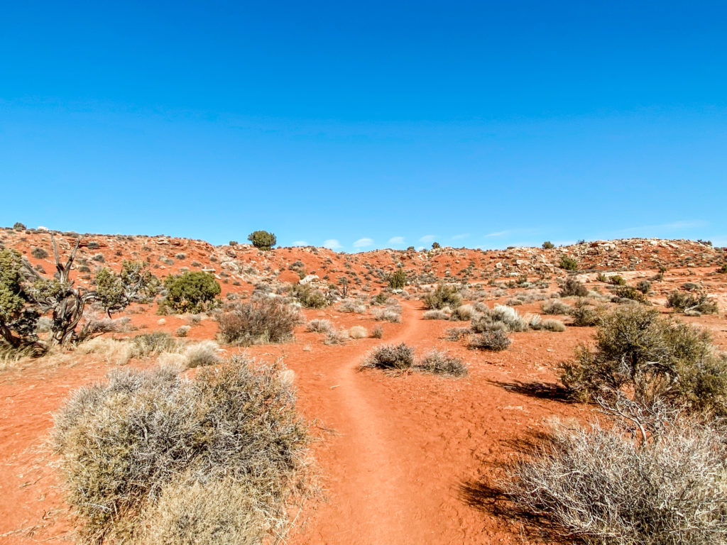
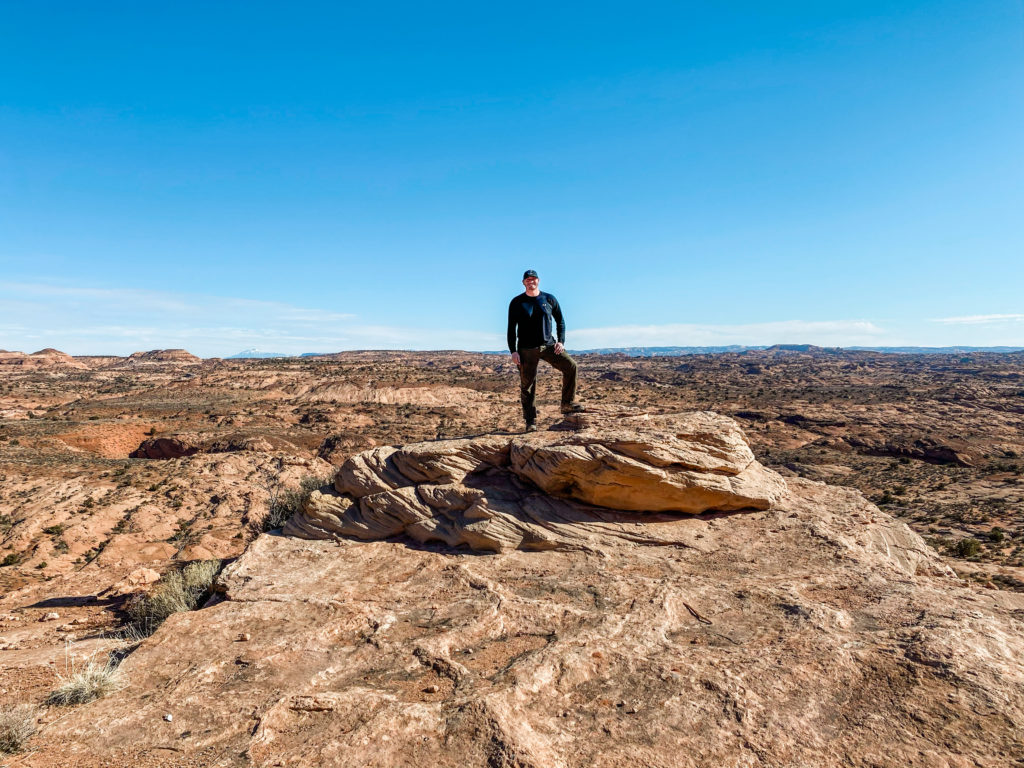
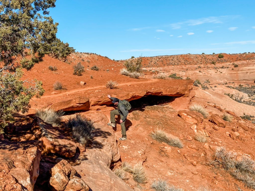
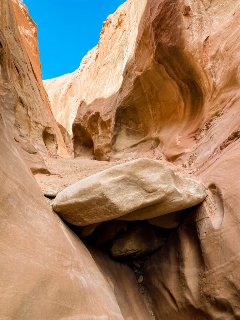
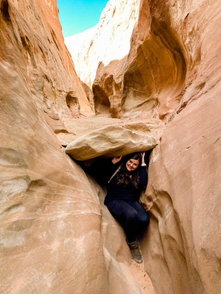
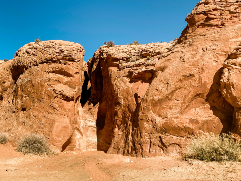
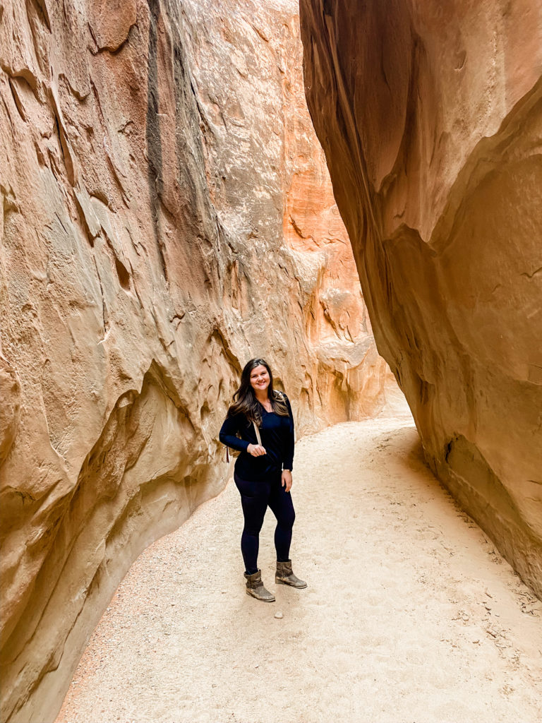
There were several times throughout this hike that I was convinced the hike leads to nothing. But luckily, we kept going… The path itself is easy to walk along, but you will be required to have some rock climbing stills to get down some steep sections and then eventually climb over others. At one point we were crab walking down and eventually ankle-deep in sand piles. We eventually found this:
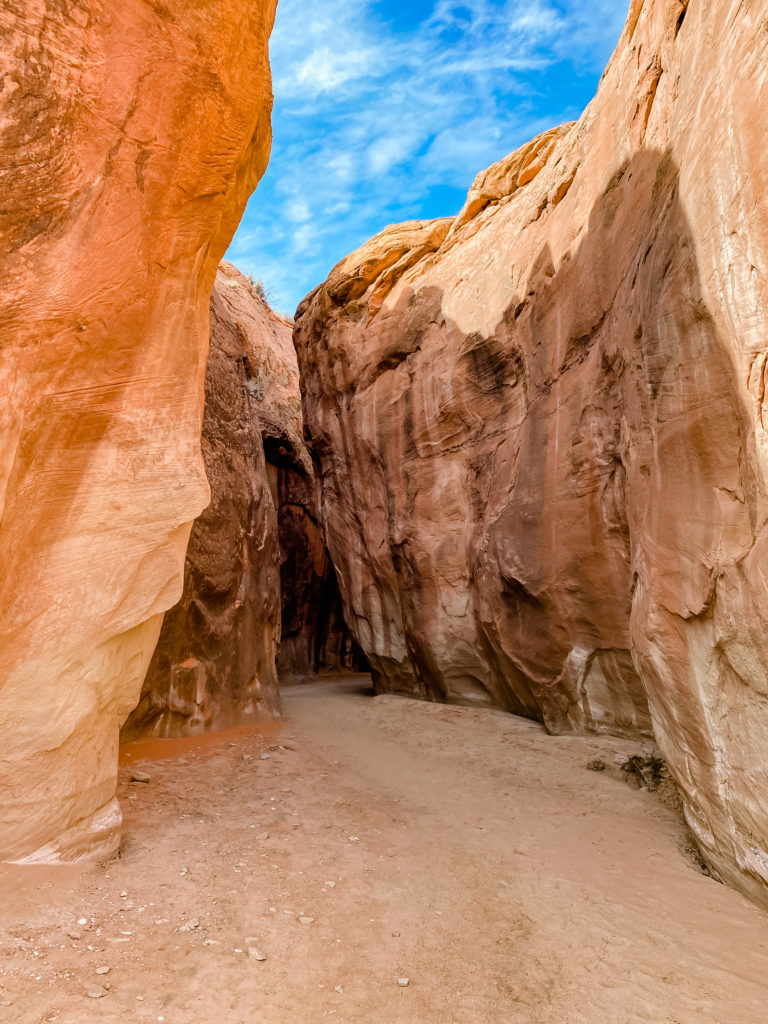
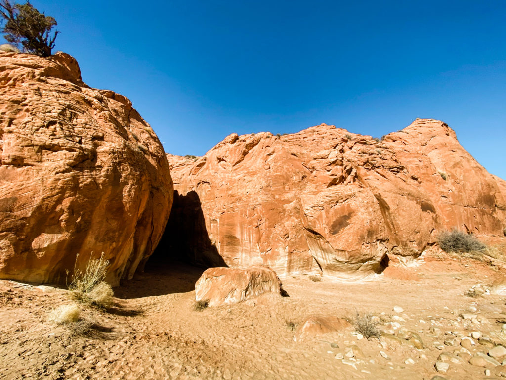
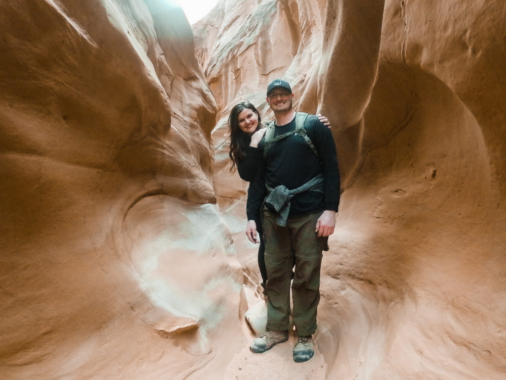
The slot canyons are so fascinating to explore. The narrow openings are formed from water rushing through the rocks. They grow larger over time from repeat flash floods and erosion over the years. The other two canyons in this area are the peek-a-boo slot canyon and the spooky slot canyon. At one point, the spooky is as narrow as 11 inches wide.
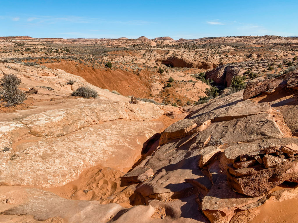
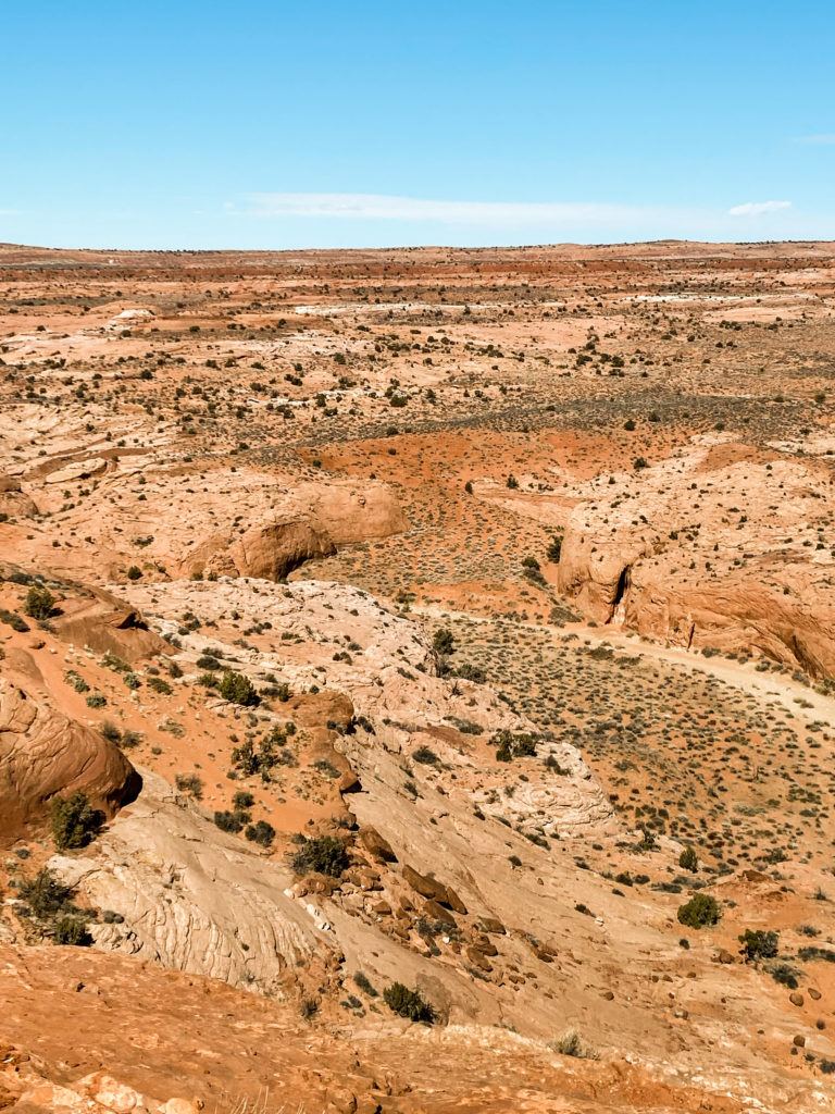
Here is a comparison image of being down at the bottom of the gulch vs. standing atop looking at where we climbed down to:
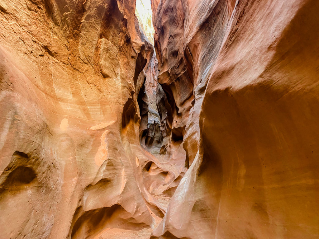
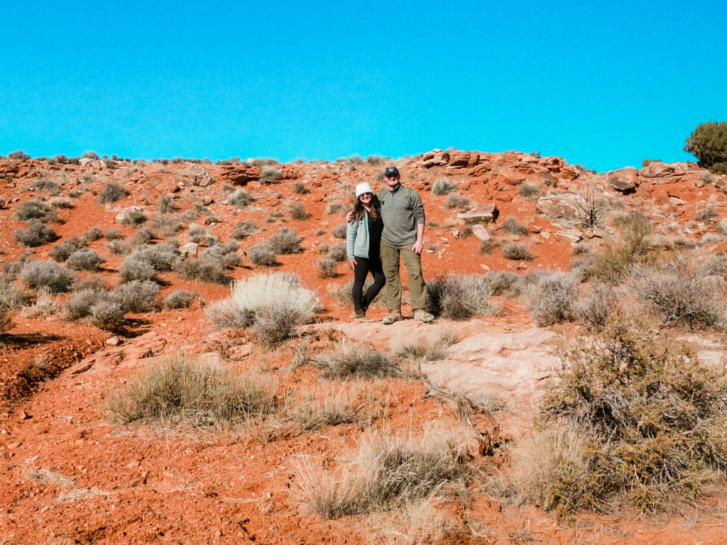
In any type of canyon hiking, it was important for us to prep for hours worth of snacks and then also for the vast temperature changes as the elevation kept changing.
KODACHROME BASIN STATE PARK
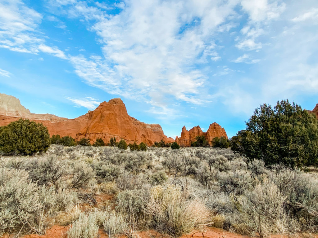
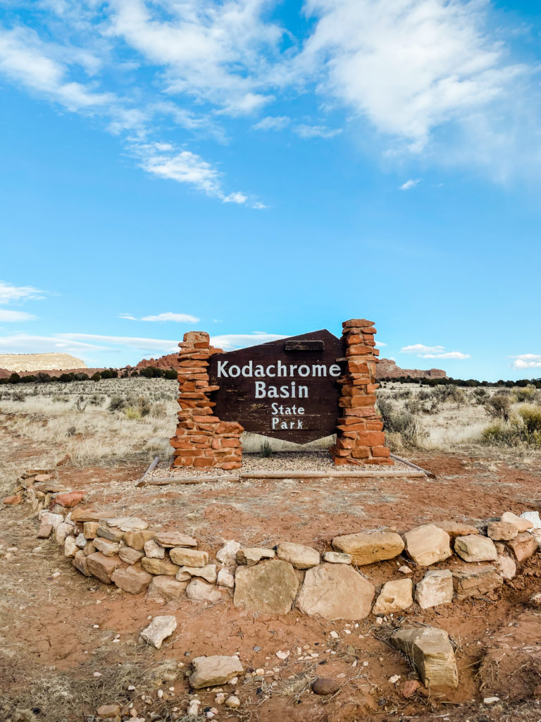
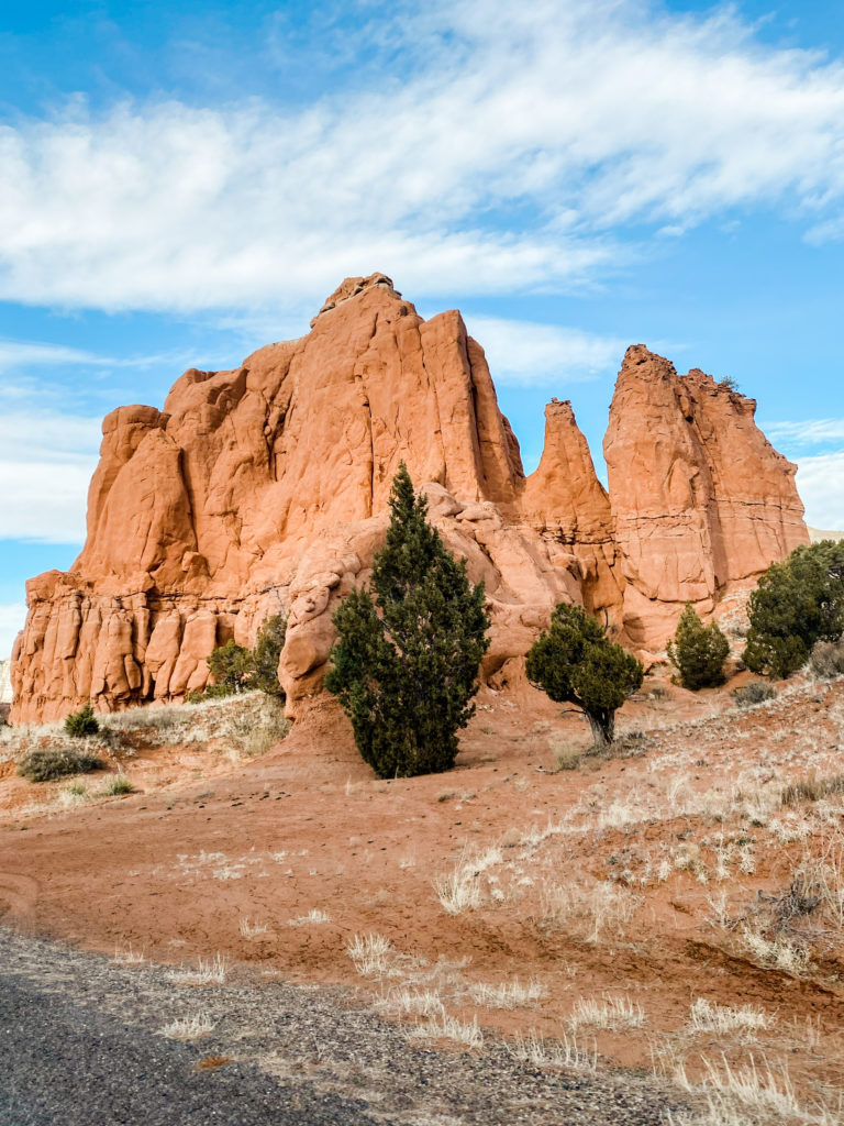
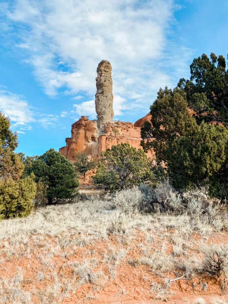
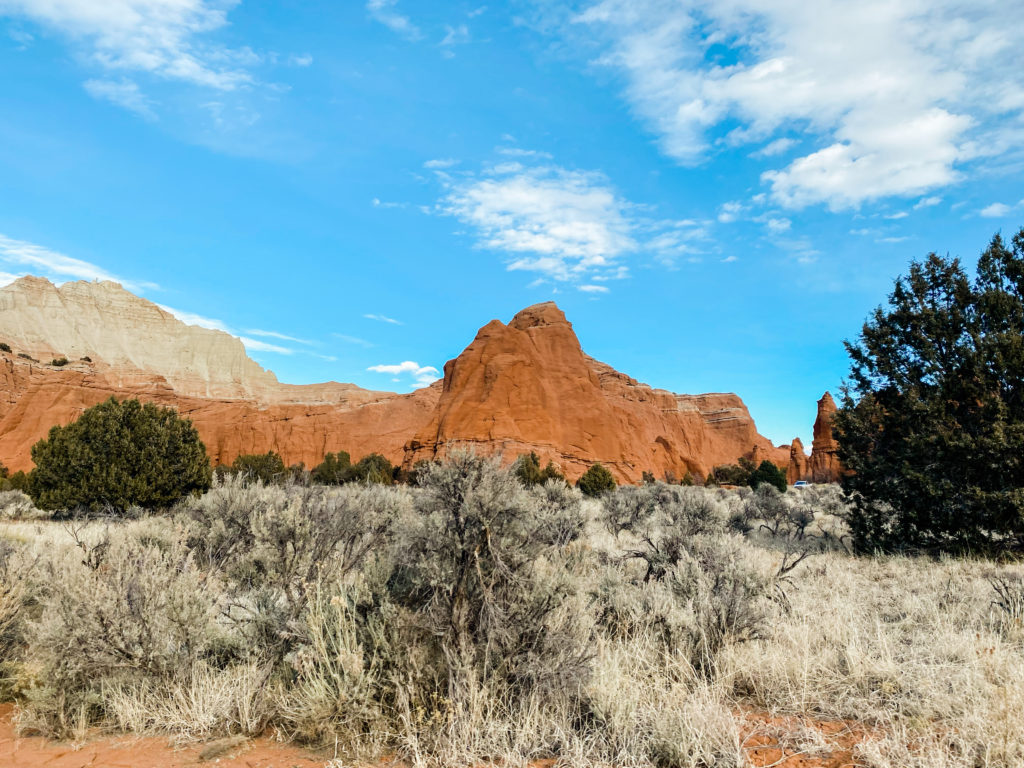
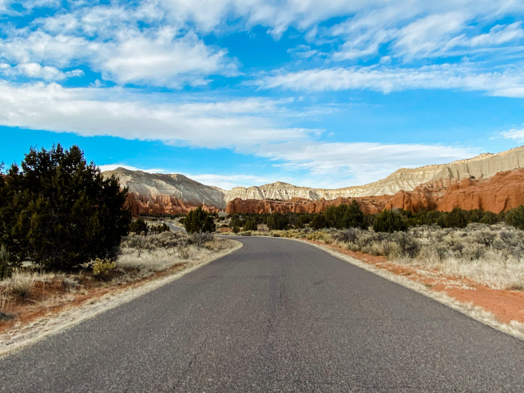
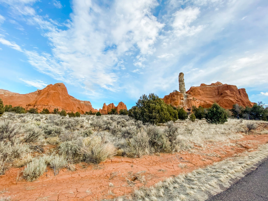
The next thing we did in the Grand Staircase is the Kodachrome Basin State Park. It’s very quick to drive through the park and jump out at all of the lookout points, and there are several easy, quick hikes.
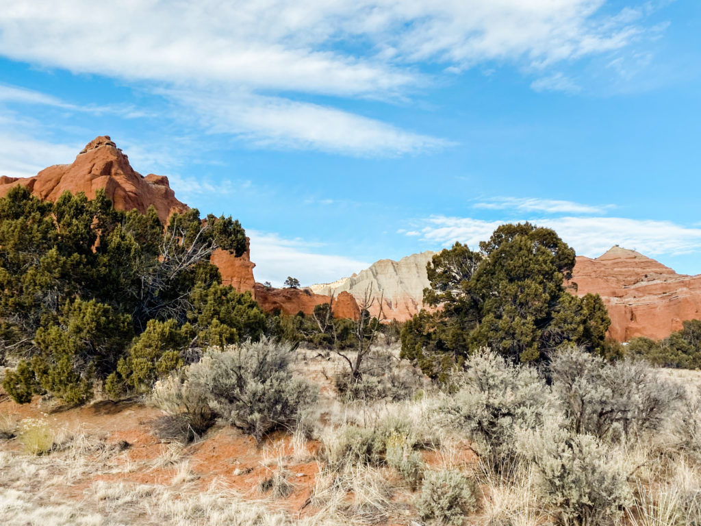
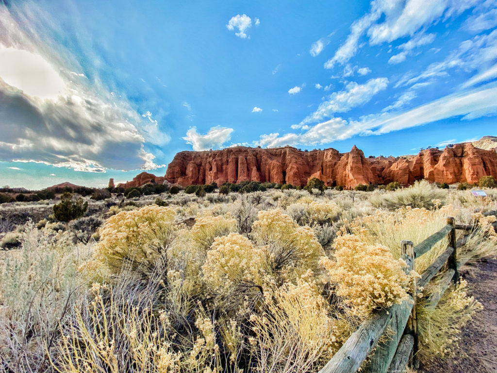
MOUNT ZION NATIONAL PARK
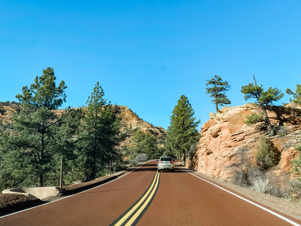
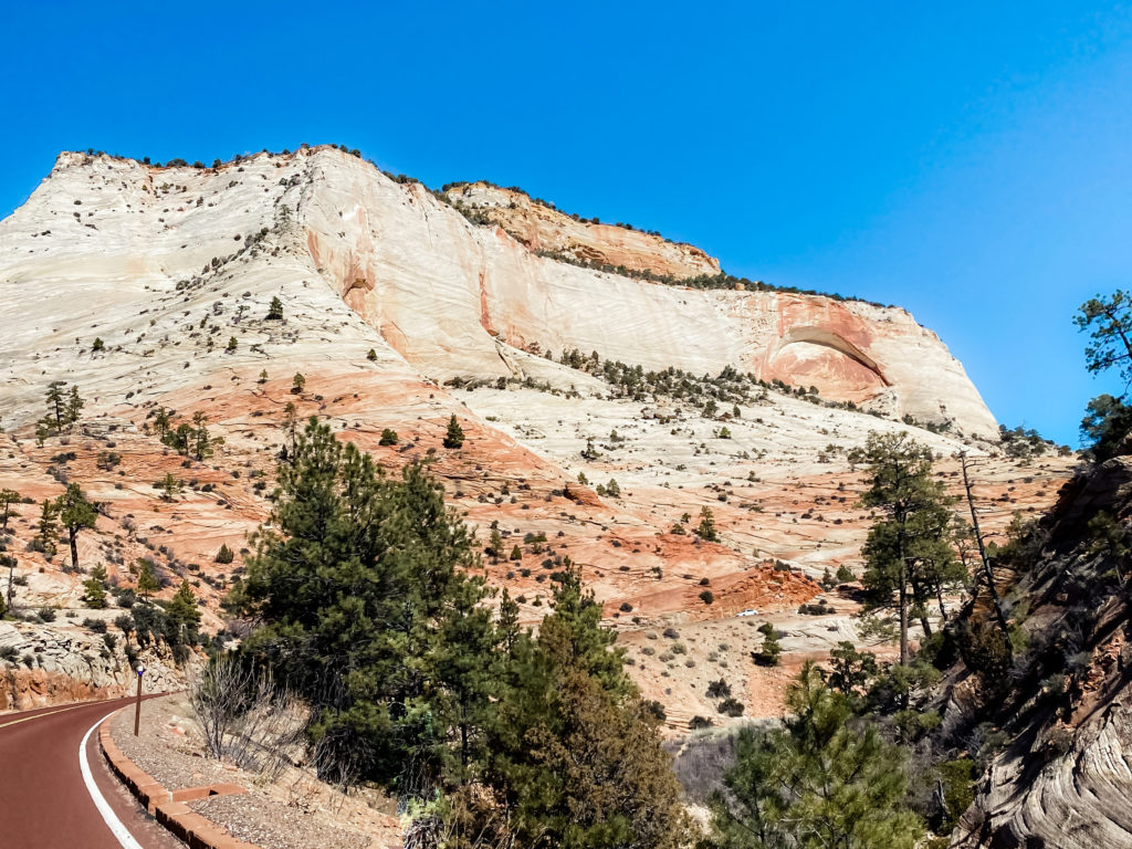
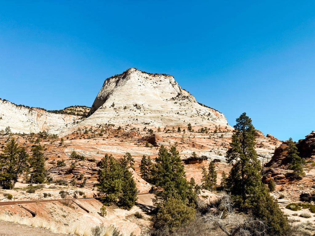
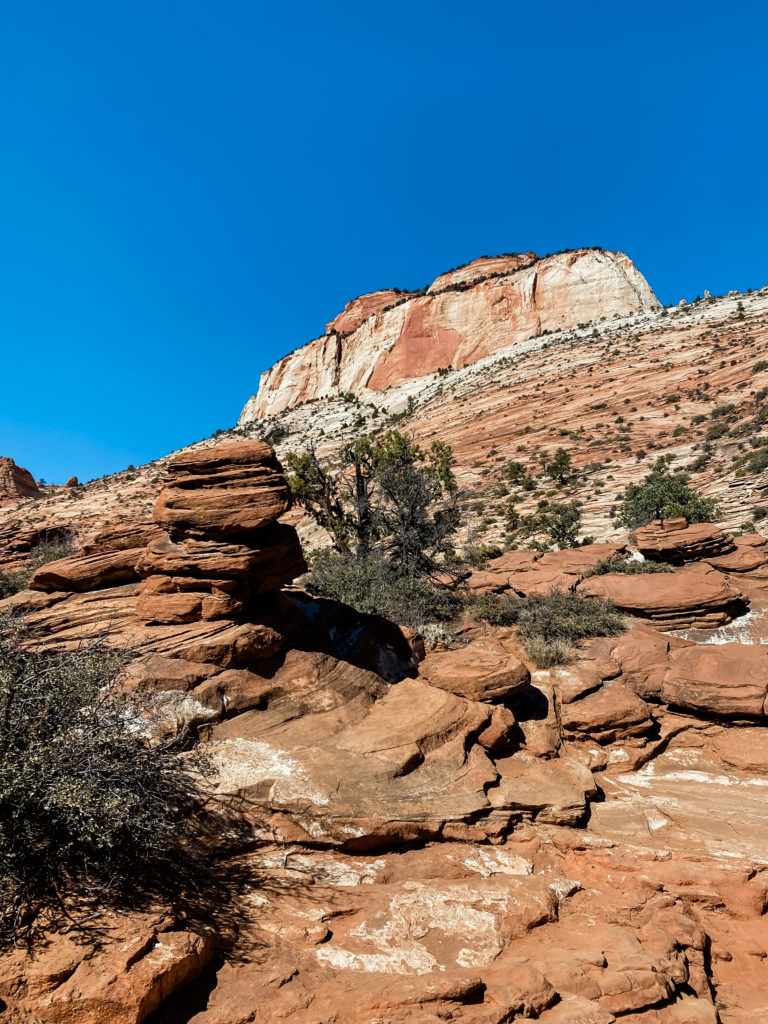
MY F.A.V.O.R.I.T.E. Even if all you get to do is drive through this incredible landmark, it will take your breath away. I don’t have a hotel recommendation for this area because we spent a day here as we were driving from Bryce Canyon to Las Vegas.
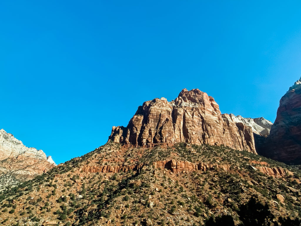
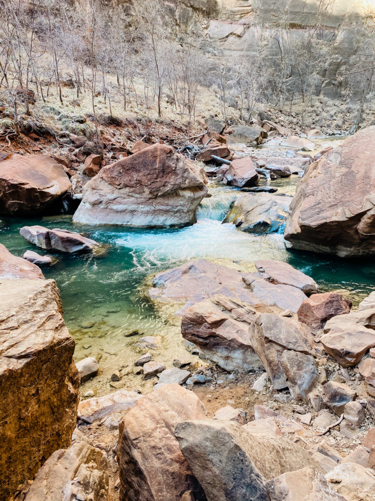
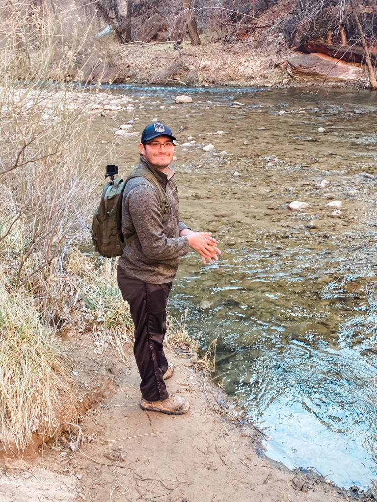
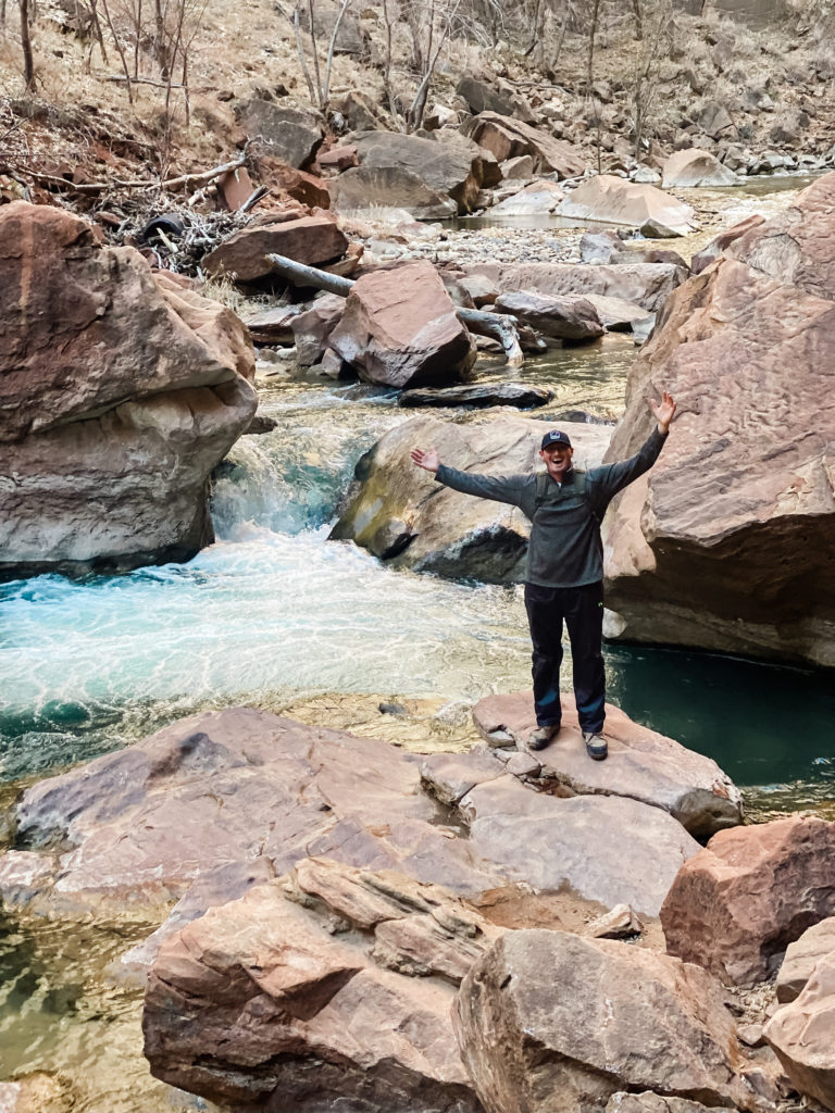
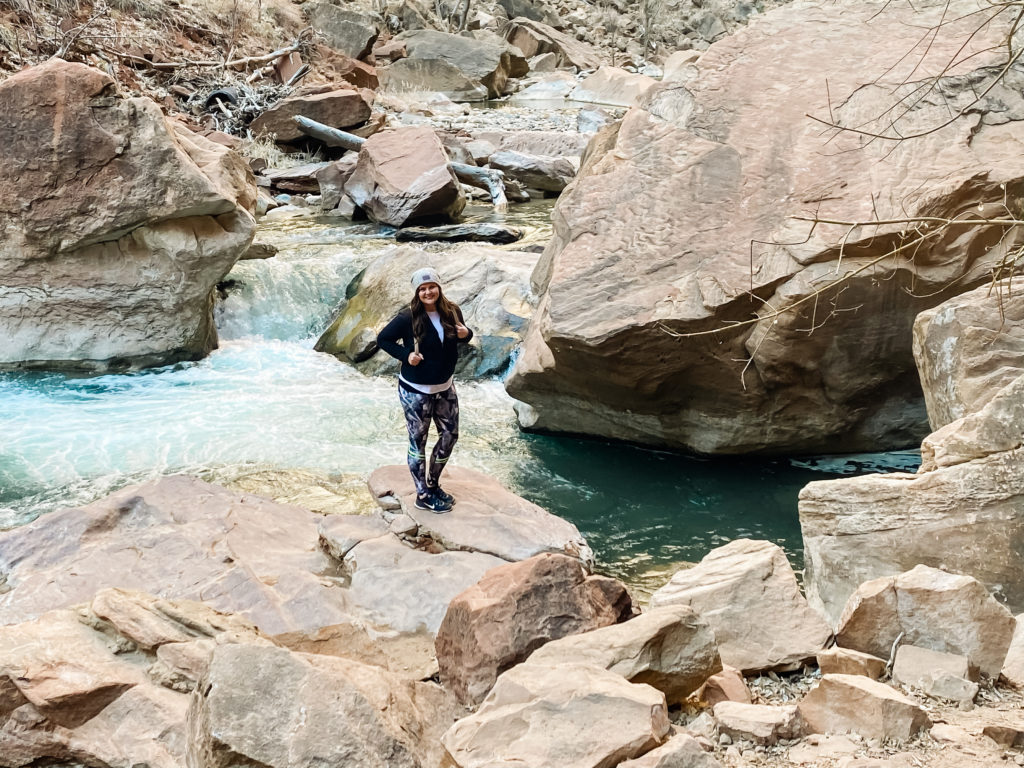
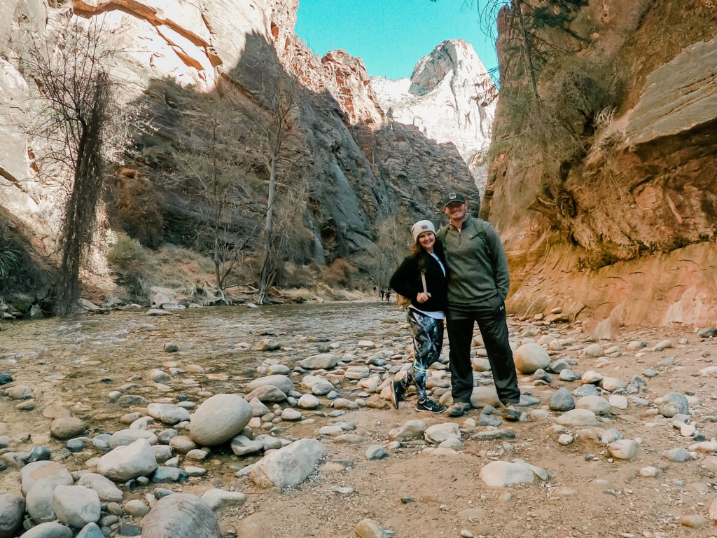
The first “hike” we did here is the Riverside Walk Trail. I put the word hike in quotes because it is more of a leisurely stroll and perfect for kids and wheelchair accessible. It is 2.2. miles roundtrip and can be done in about an hour and a half. It is the last stop if you’re driving the scenic route, and can be a perfect refresher to walk along the river to start the day.
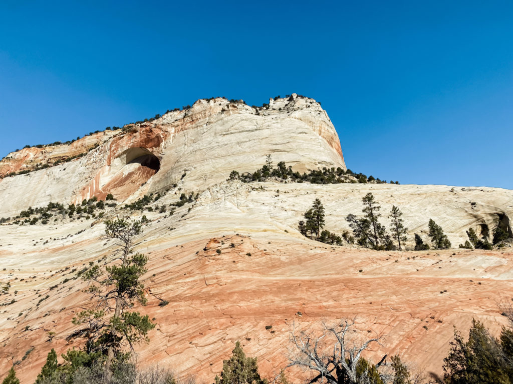
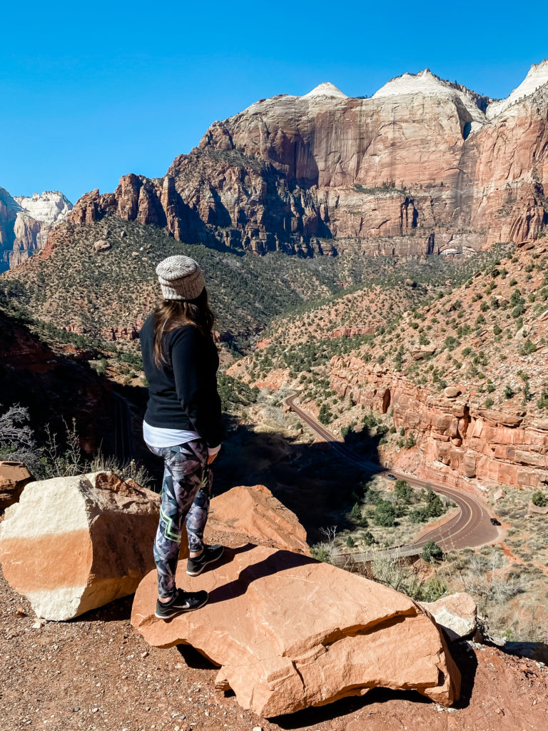
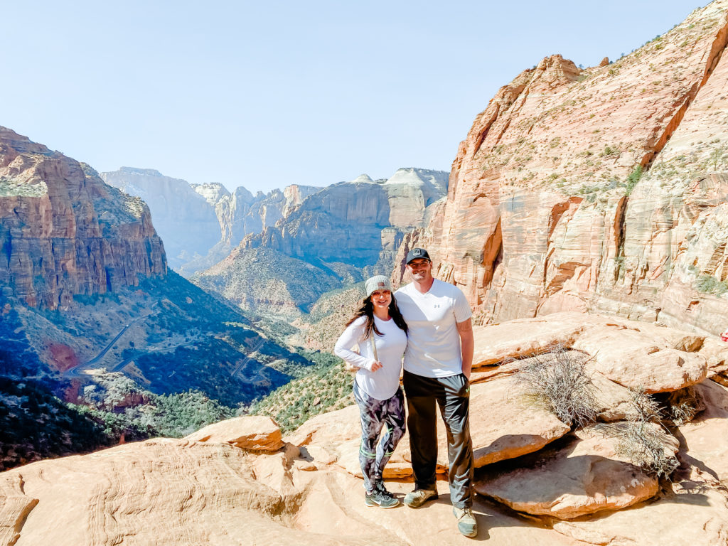
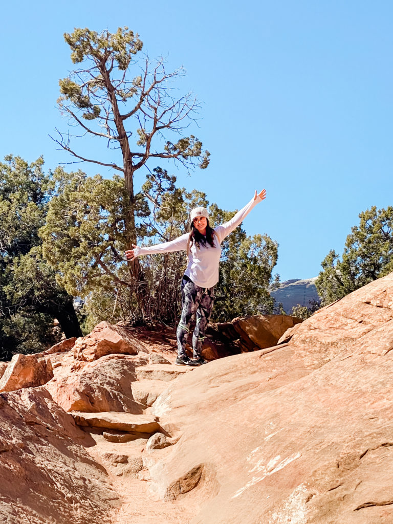
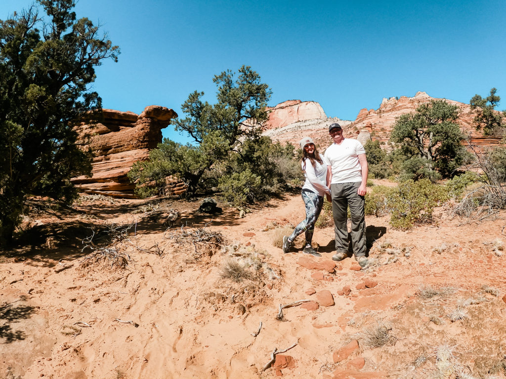
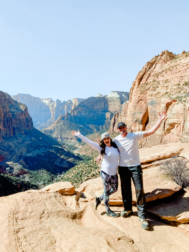
We then drove to the opposite side of Zion and hiked the Canyon Overlook Trail. This trail is 1 mile and labeled easy/moderate. It can be done in about an hour, and the views at the top are unbeatable!
LAST STOP: LAS VEGAS, NV
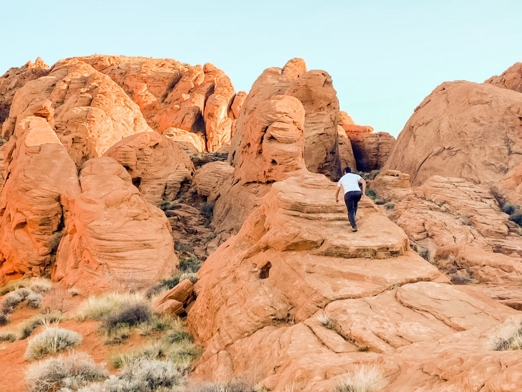
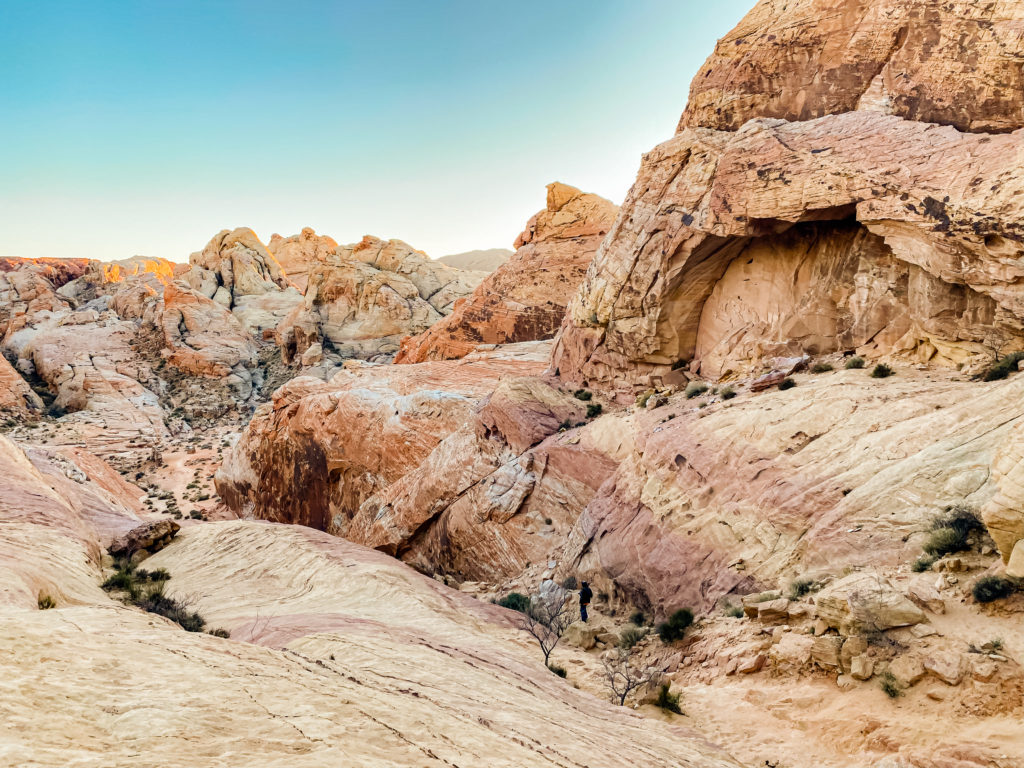
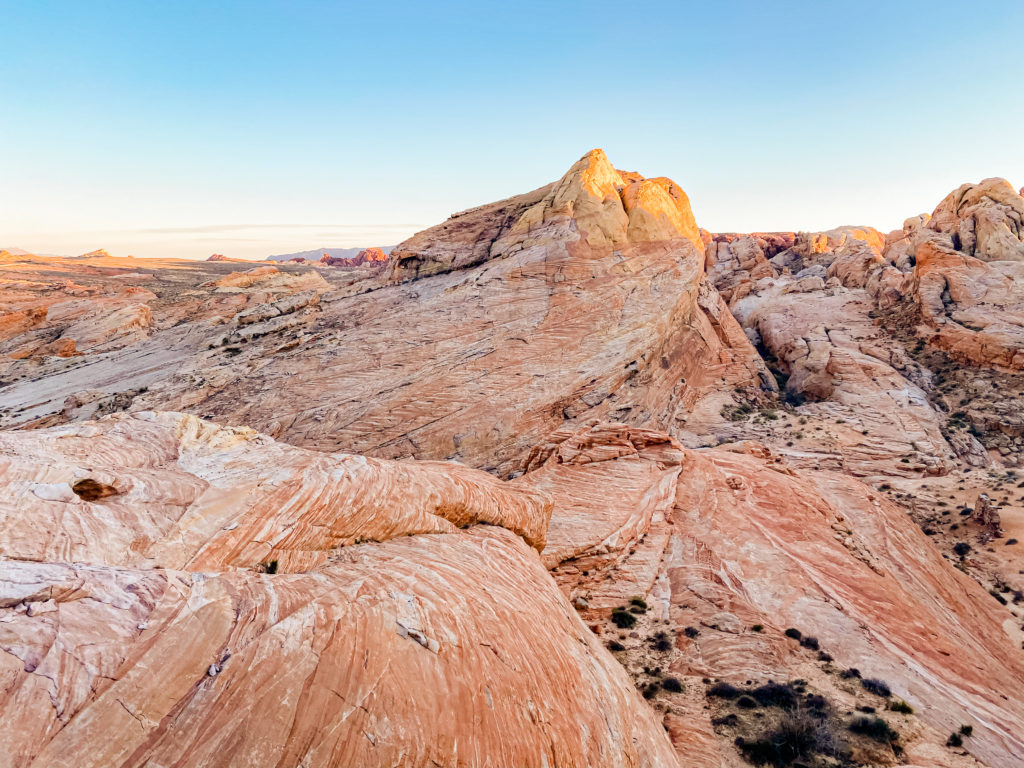
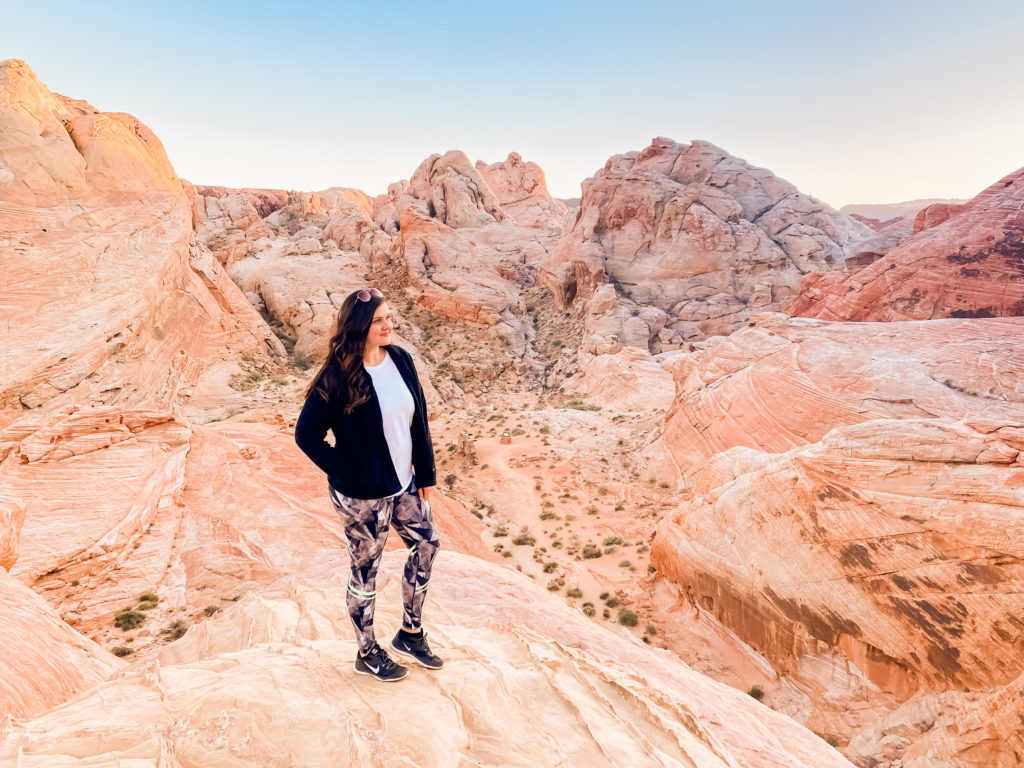
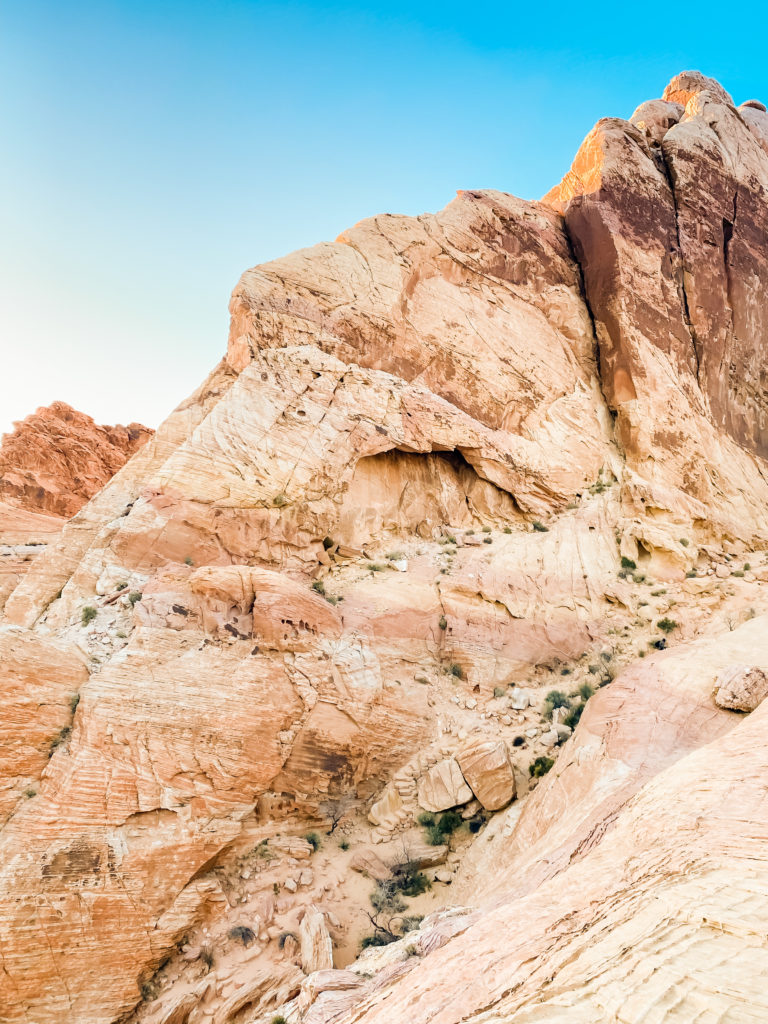
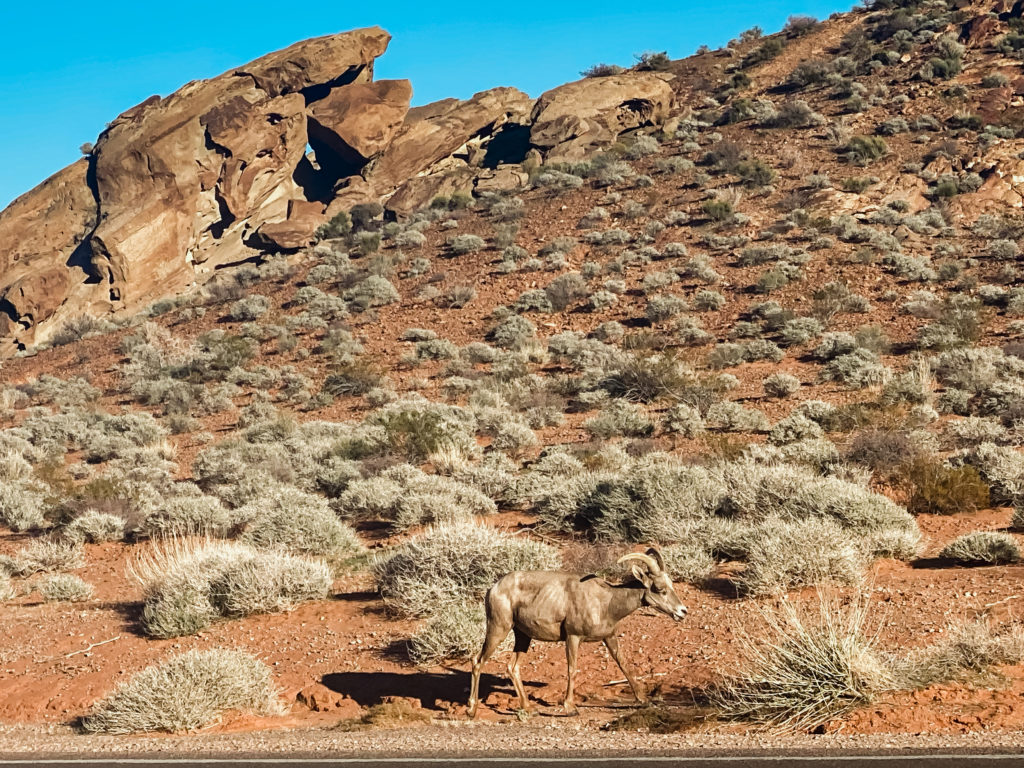
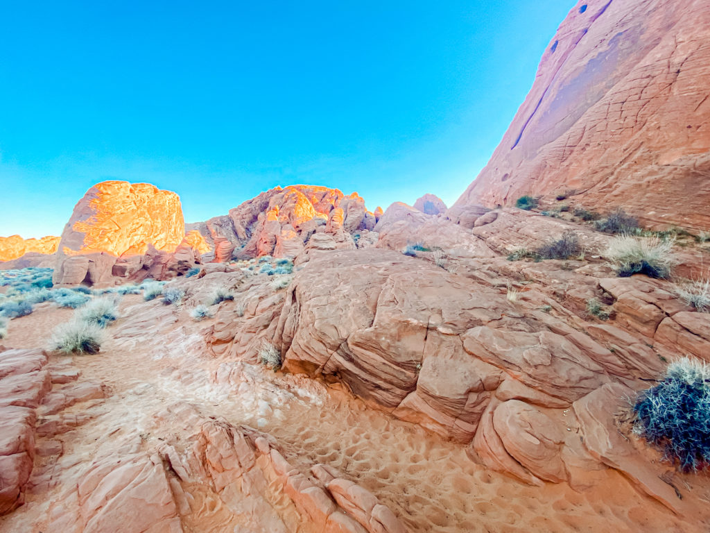
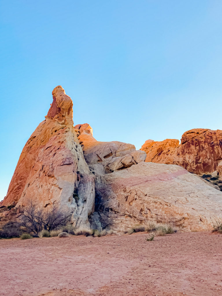
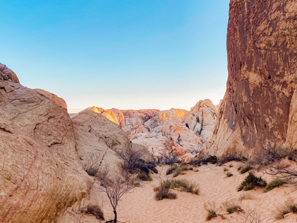
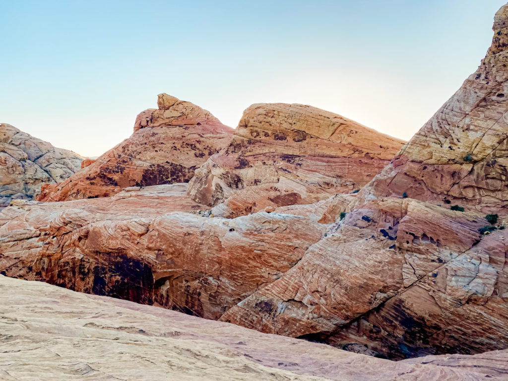
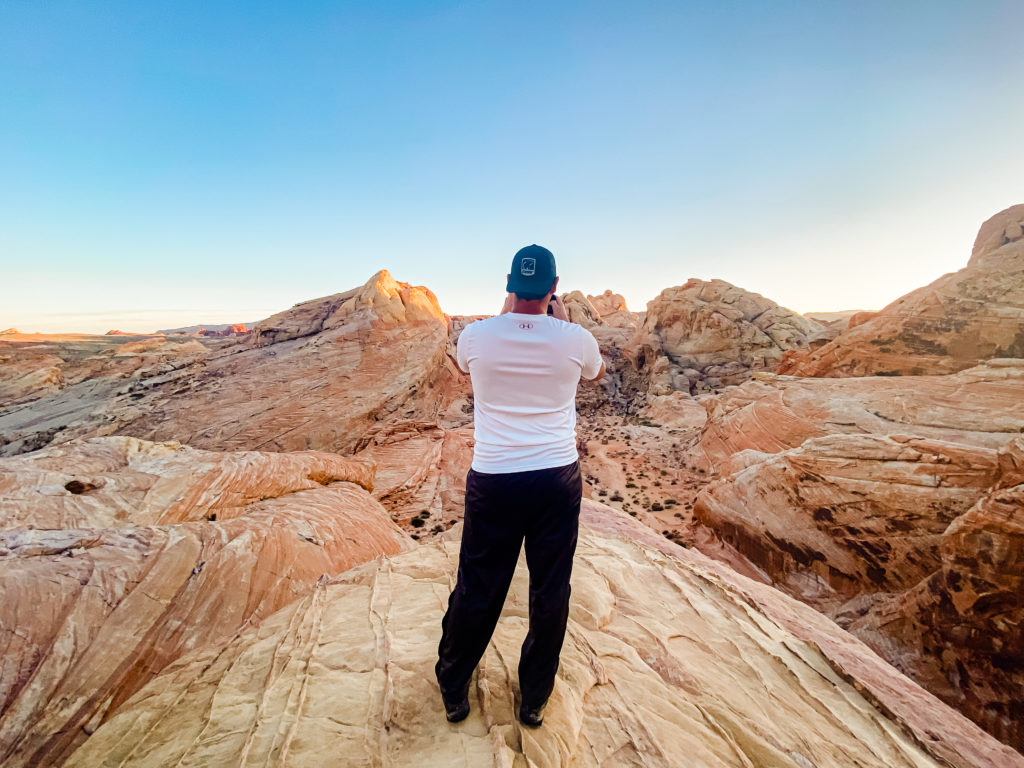
A Southwest road trip visiting the national and state parks is not complete without a stop at the Valley of Fire. I fell in love with this state park when I came last year! You can easily spend the entire day here, and we did last year! There are so many hikes to choose from, so many great views, and so many rocks to climb!
RED ROCK CANYON
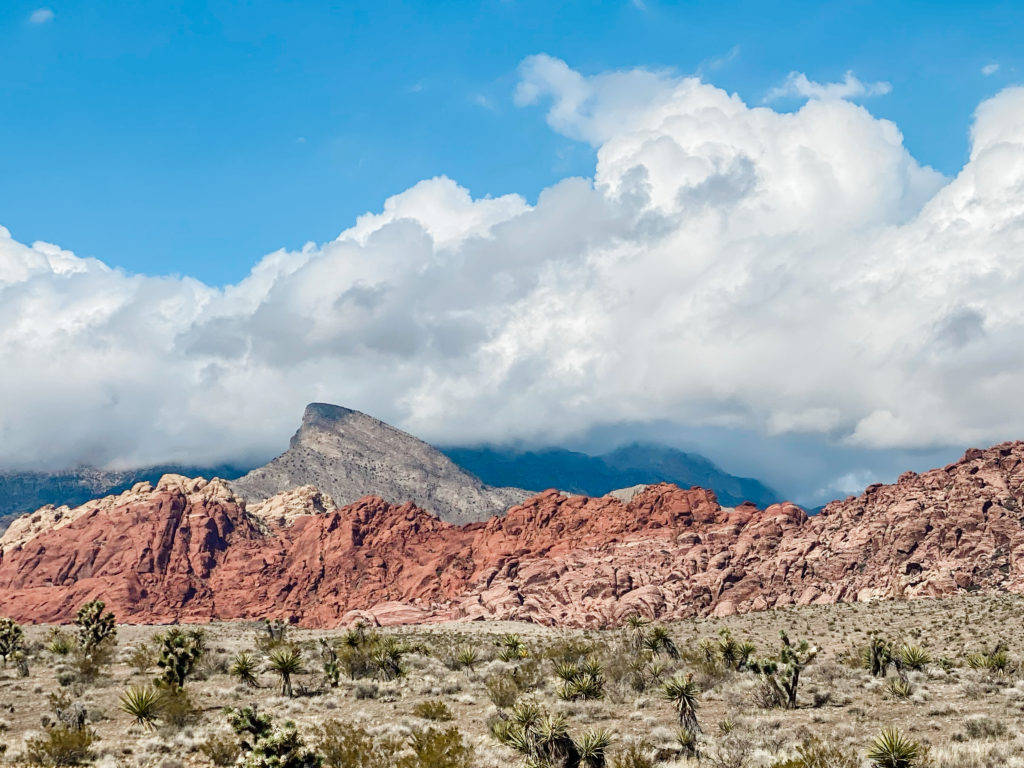
I have been to Red Rock Canyon so many times, and it never disappoints! I’ve hiked at sunrise and photographed engagement sessions here, and it remains one of my favorite things to do in Las Vegas. You can drive the 13 mile loop and just stop at all of the lookout points, but I definitely recommend picking a hike here. I did the Turtlehead Peak last year, which is 4.6 miles and labeled strenuous. It takes at least 4 hours to do this one.
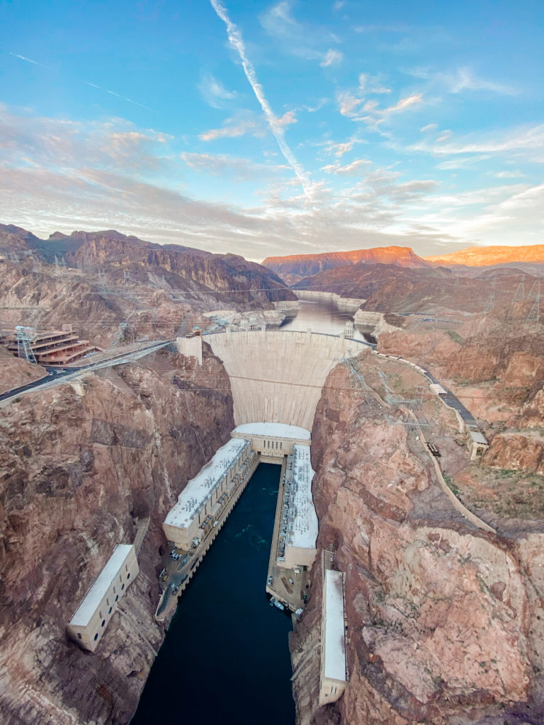
HOOVER DAM
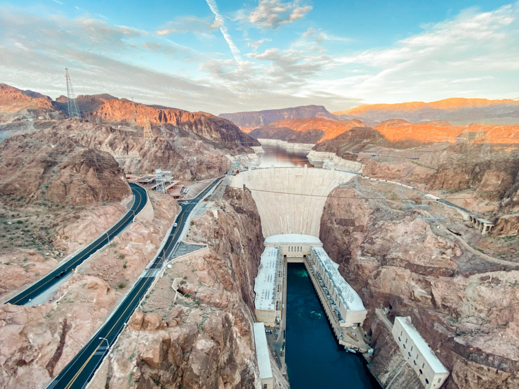
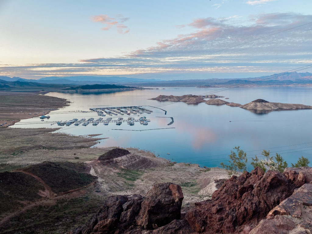
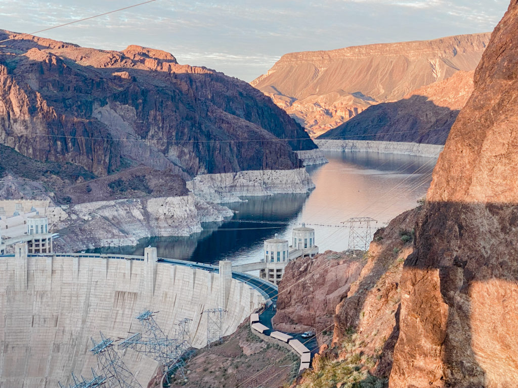
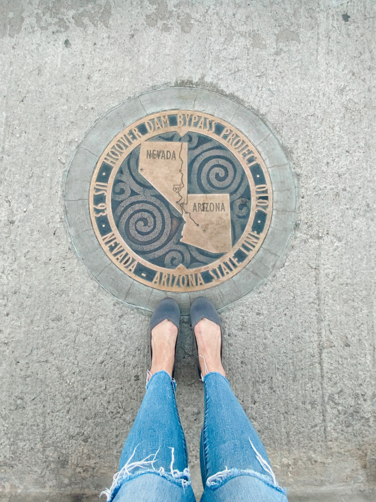
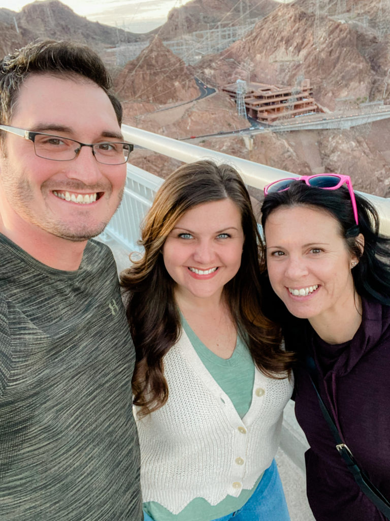
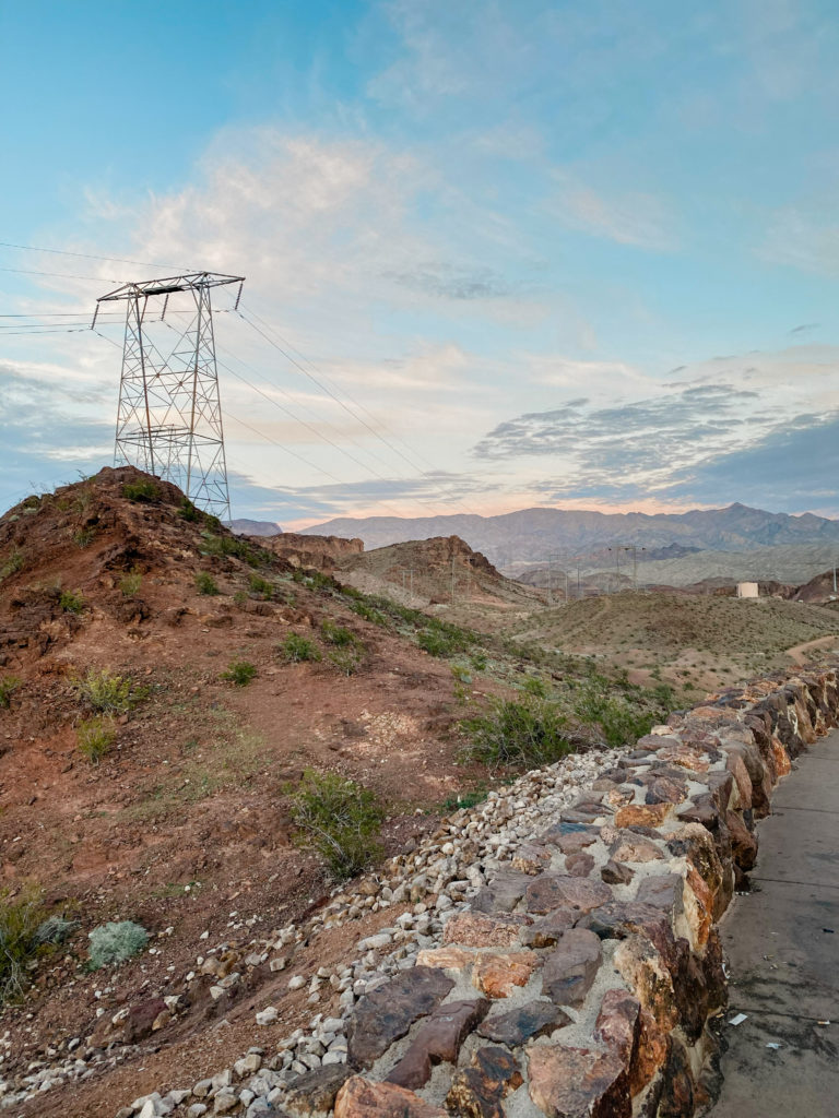
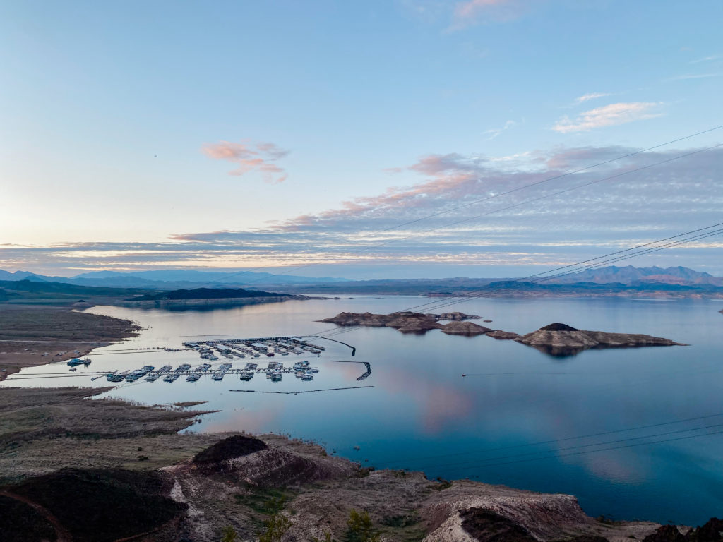
The historic Hoover Dam is just a quick 45 min drive out of Las Vegas. It was fun checking this off the bucket list this year and stepping into two places at once: Nevada and Arizona!
Comments